
Check below for a wealth of Severe Weather Information including surface weather maps, satellite images, radar images, forecasts, predictions, and more! All images, forecasts, and documents are courtesy of their respective publishers.
Our Most Recent Severe Weather Updates:
Requires A Subscription To Crown Weather Plus – CLICK HERE For More Information:
Current Numerical Model Links
| COD Model Links | Earl Barker’s Model Page |
| NAM Severe Weather Graphics | 4 KM NMM/WRF Model For SPC |
| NSSL WRF Model Page | Oklahoma Weather Lab |
| SPC SREF Model Page | TwisterData Weather Data & Model Forecasts |
Severe Weather Links
Local News Station and Webcam Links
US Webcams
US Media Links
Storm Reports Media Links
US Weather Advisories:

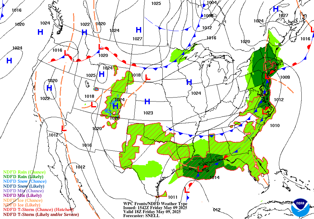
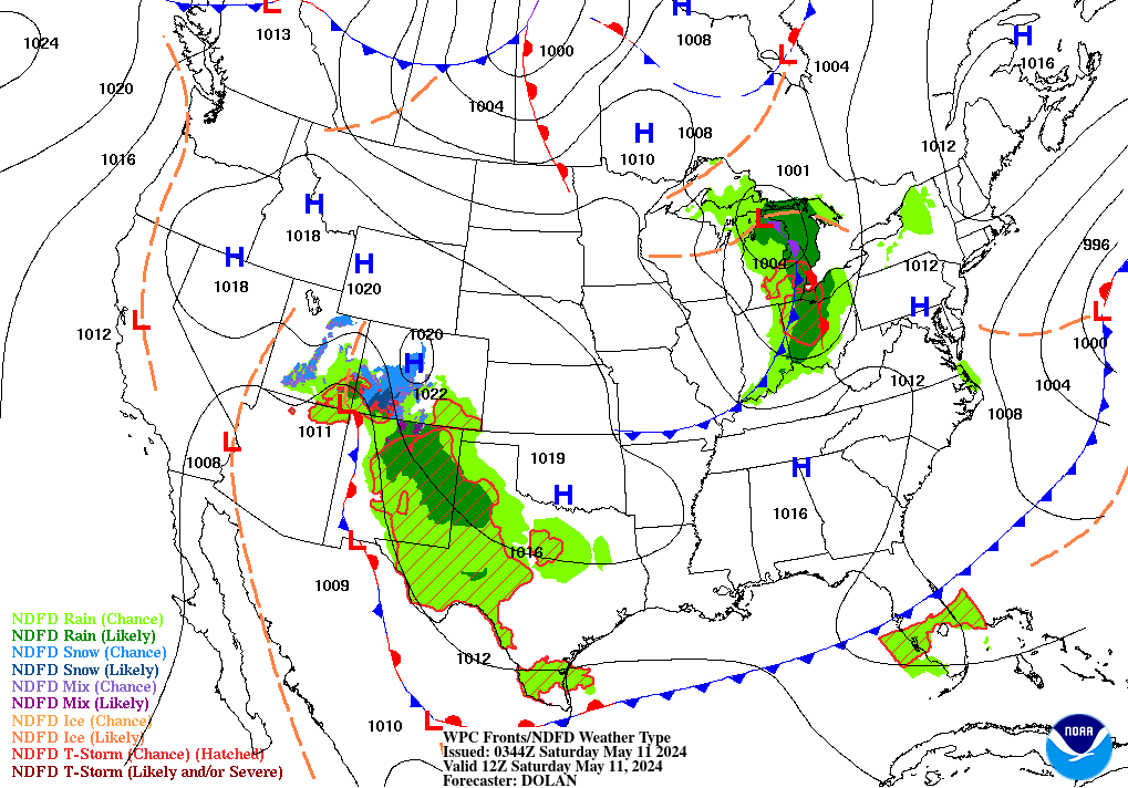
Current US Surface Weather Map

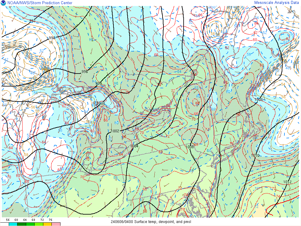
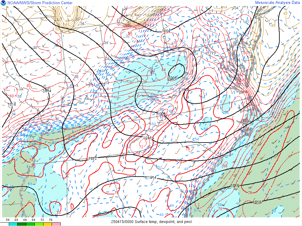
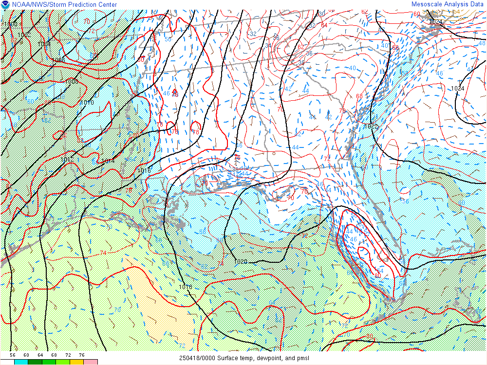
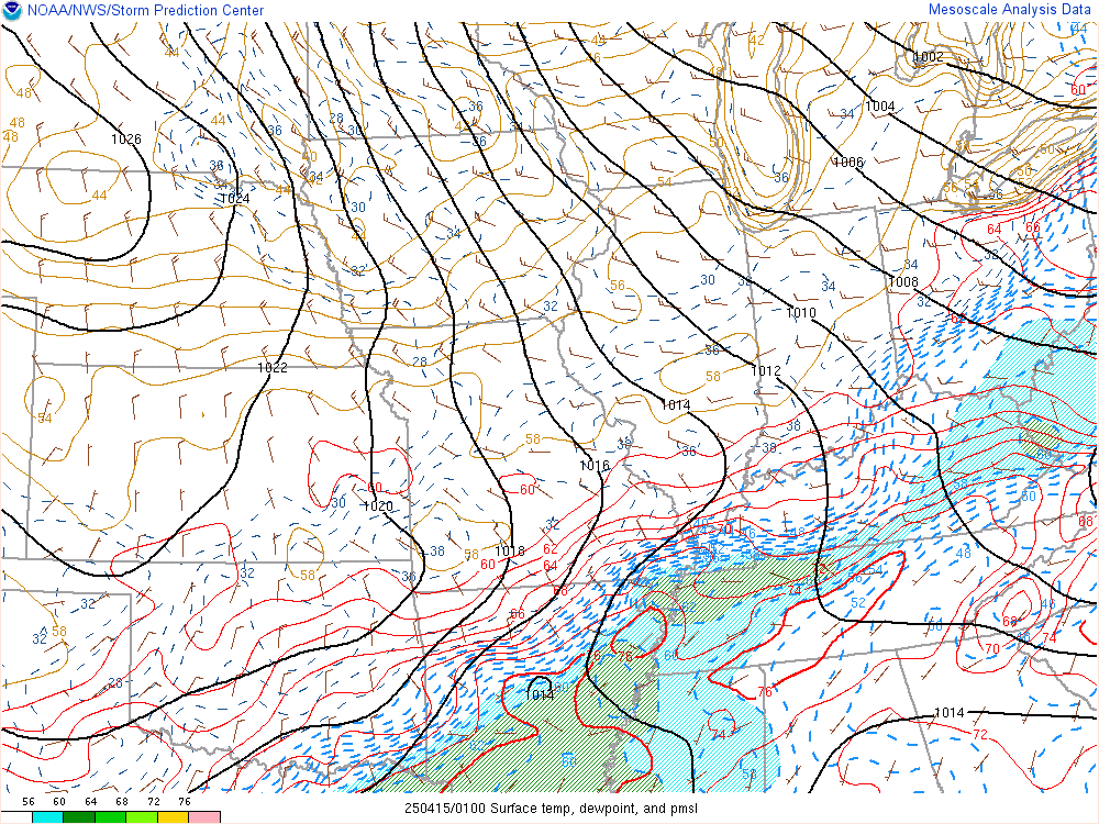
Hourly Mesoscale Analysis
Current Infrared Satellite Images

Current Visible Satellite Images

Current Water Vapor Satellite Images

Current US Radar Composites
Northeast United States

Southeast United States

Central Great Lakes

Lower Mississippi Valley

Upper Mississippi Valley

Southern Plains

Northern Rockies

Southern Rockies

Pacific Northwest

Pacific Southwest

Current National US Radar Composite

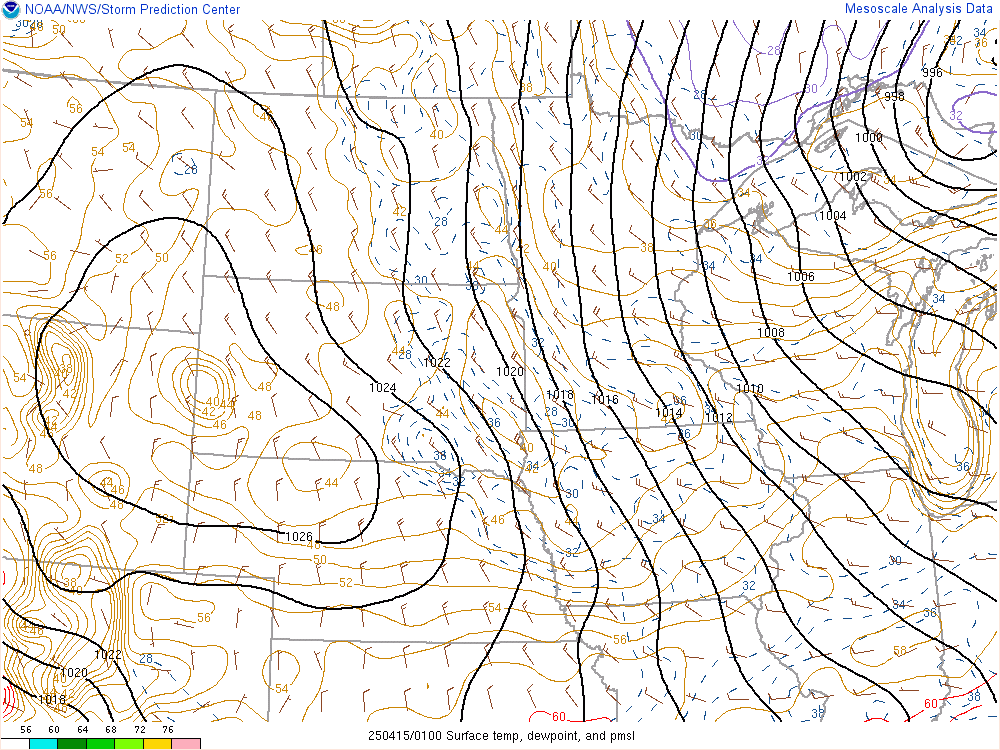
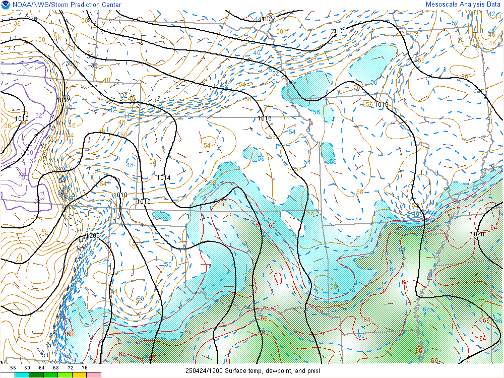
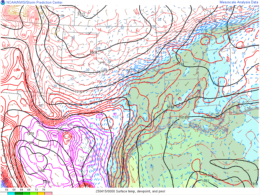
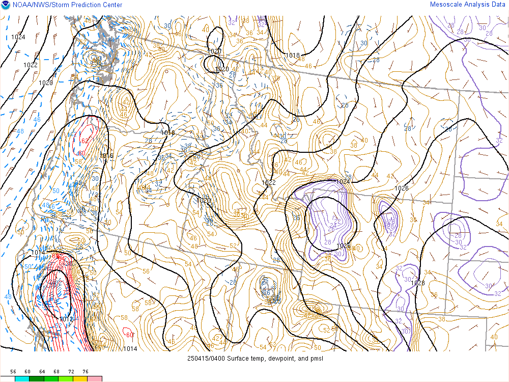
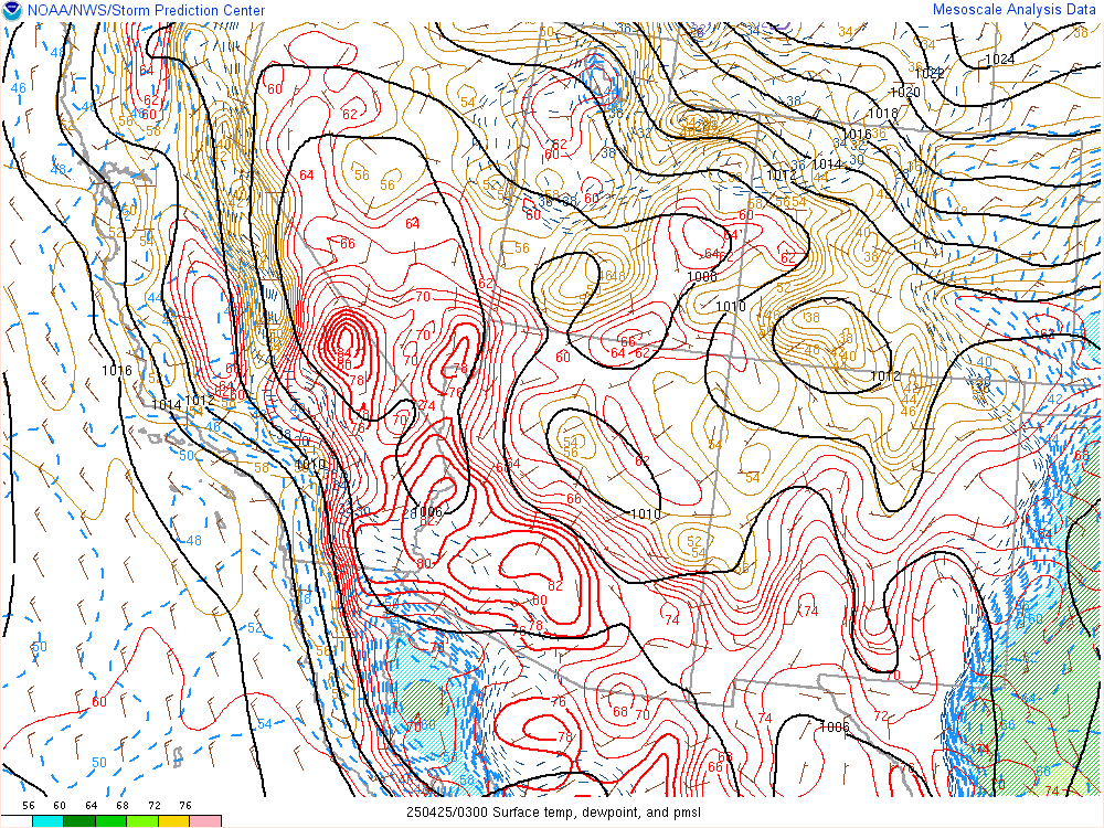
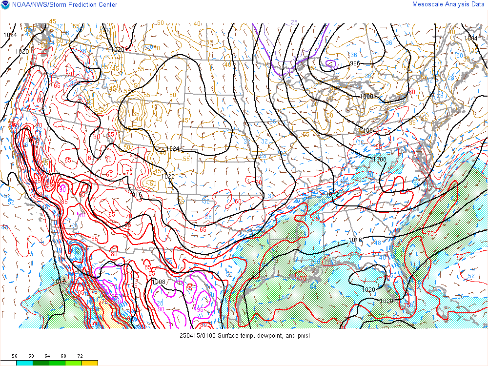
Current US Mesoscale Analysis:
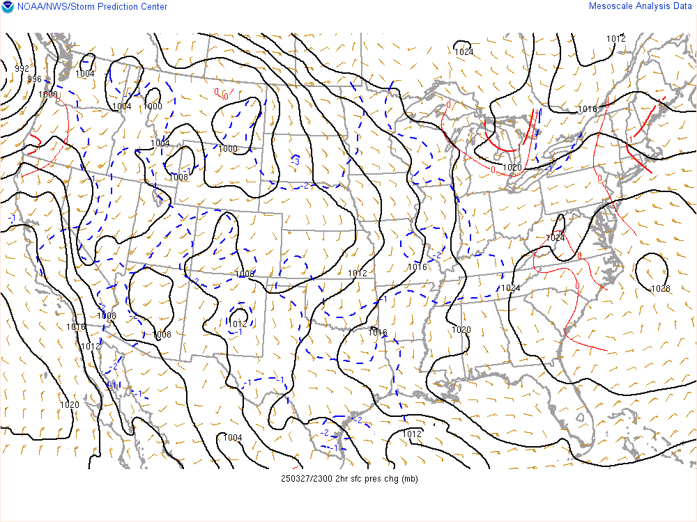
US 2 Hour Sea Level Pressure Change Chart:
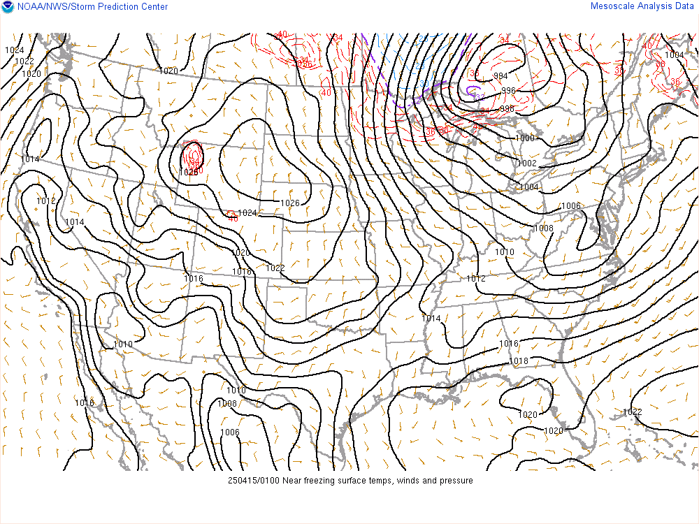
US Near Freezing Surface Temperatures:
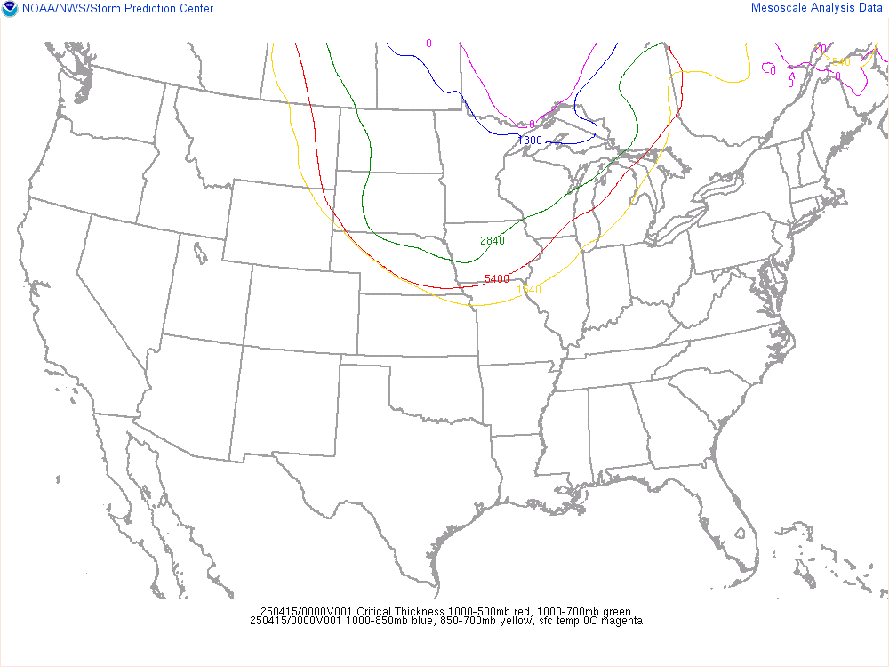
US Critical Thickness Analysis:
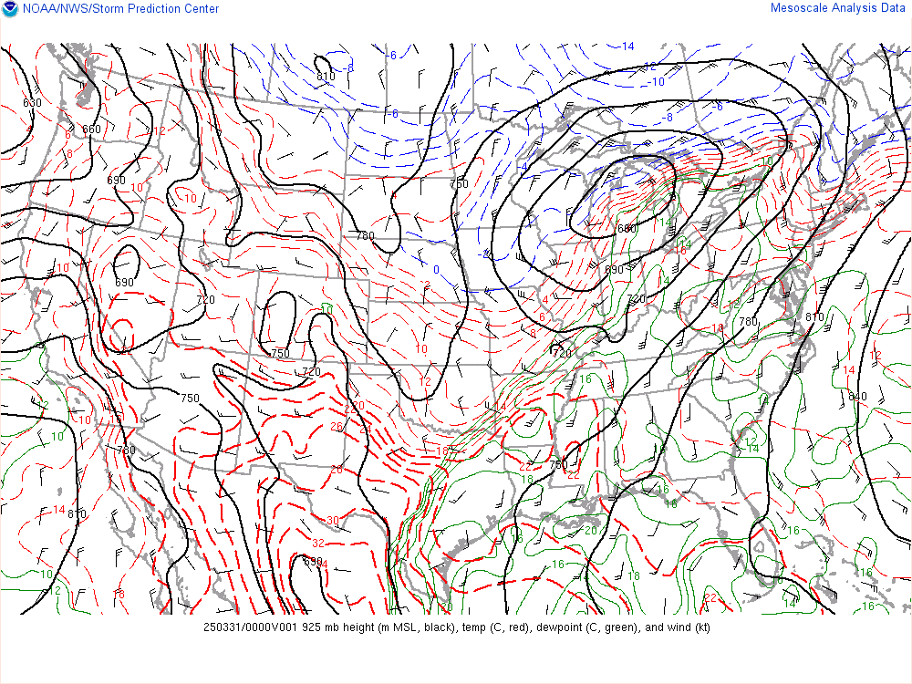
Current 925 Millibar Upper Air Chart:
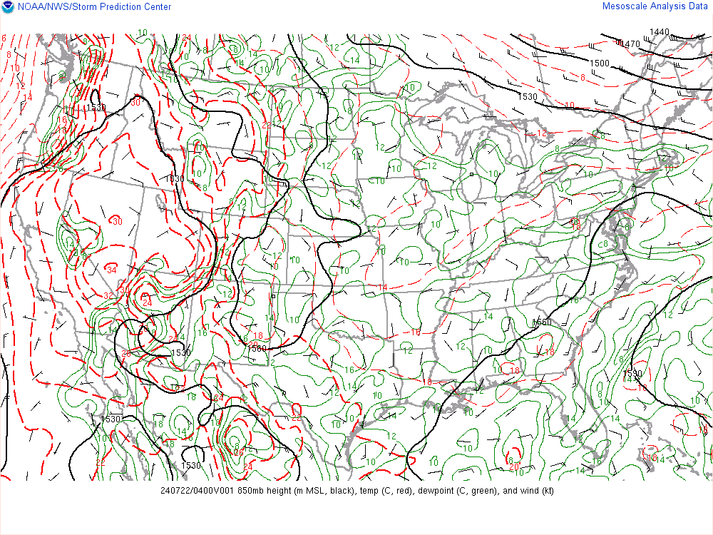
Current 850 Millibar Upper Air Chart:
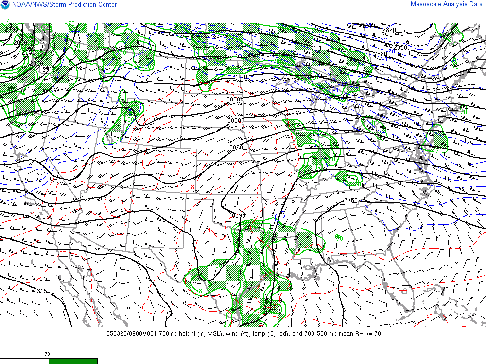
Current 700 Millibar Upper Air Chart:
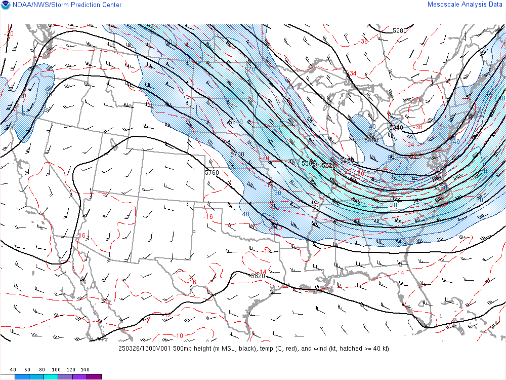
Current 500 Millibar Upper Air Chart:
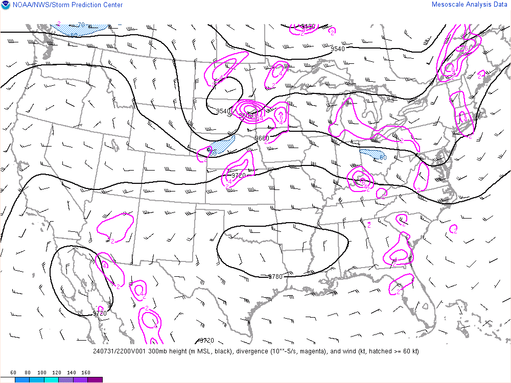
Current 300 Millibar Upper Air Chart:
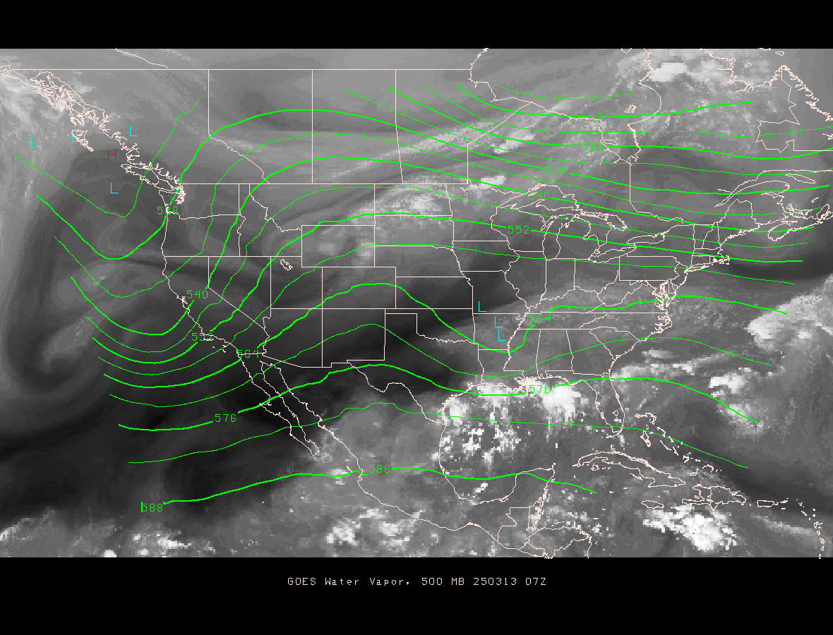
500 mb Upper Air Chart Overlayed On Water Vapor Satellite Image:
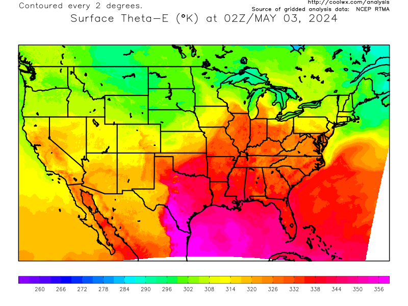
Current US Surface Theta-E Chart:
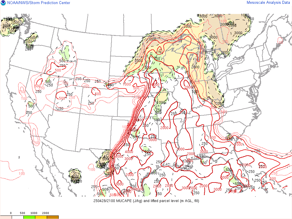
Current US CAPE Analysis:
Current US Storm Relative Helicity/Storm Motion Analysis:

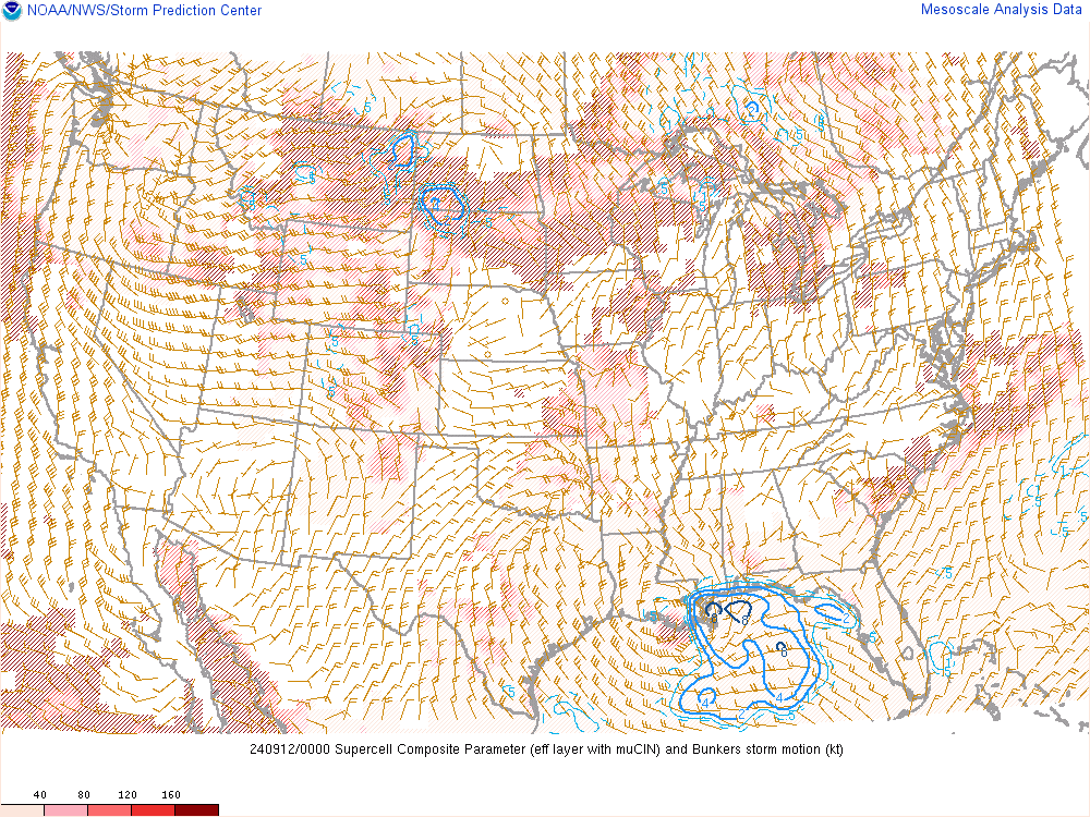
Current US Supercell Composite Analysis:
Current US Significant Tornado Parameter Analysis:

Today’s Severe Weather Outlook:
Categorical Outlook:

Tornado Probability Outlook:

Severe Wind Probability Outlook:

Large Hail Probability Outlook:

Tomorrow’s Severe Weather Outlook:
Categorical Outlook:

Tornado Probability Outlook:

Severe Wind Probability Outlook:

Large Hail Probability Outlook:

Day Three’s Severe Weather Outlook:
Categorical Outlook:

Probabilistic Outlook:

Day Four To Eight Severe Weather Outlook:

Other Severe Weather Products:
Current Severe Thunderstorm/Tornado Watches:

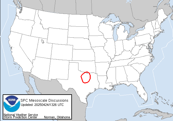
Current Mesoscale Discussions:
Storm Reports:
Today’s Storm Reports:

Yesterday’s Storm Reports:

Latest Quantitative Precipitation Forecast:
Day 1 Precipitation Forecast:

Day 2 Precipitation Forecast:

Day 3 Precipitation Forecast:

3 Day Precipitation Totals:

Days 4 and 5 Precipitation Forecast:

5 Day Precipitation Totals:

Days 6 and 7 Precipitation Forecast:

7 Day Precipitation Totals:

Short Range Forecast Discussion:
6 Hour Forecasted Surface Weather Map:
12 Hour Forecasted Surface Weather Map:
18 Hour Forecasted Surface Weather Map:
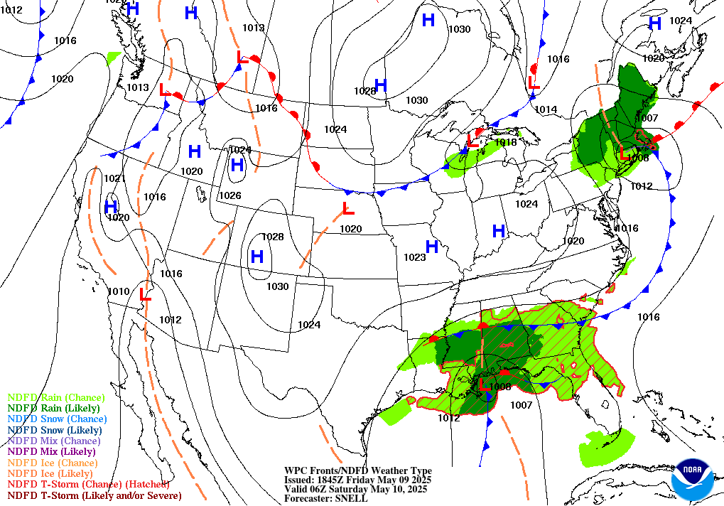
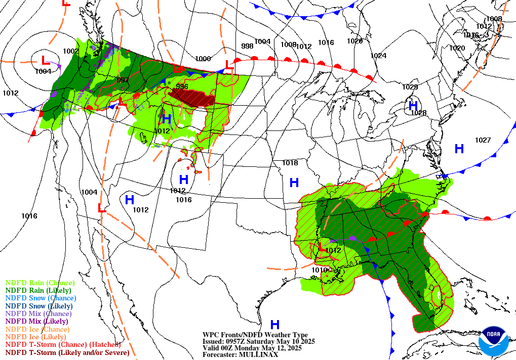
24 Hour Forecasted Surface Weather Map:
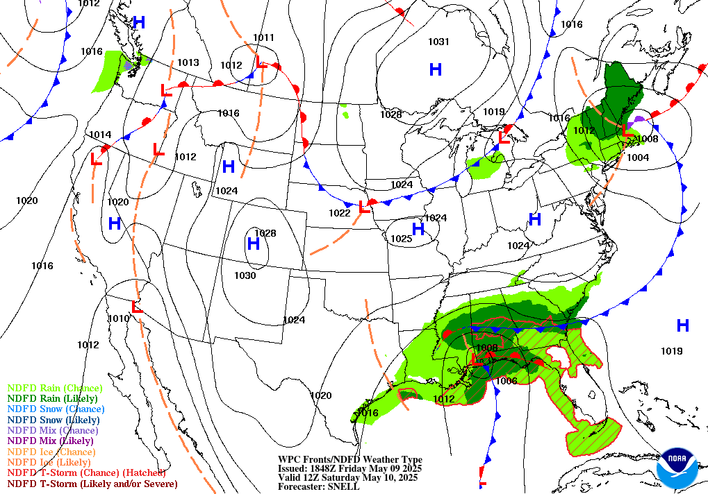
30 Hour Forecasted Surface Weather Map:
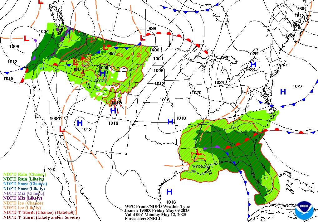
36 Hour Forecasted Surface Weather Map:

48 Hour Forecasted Surface Weather Map:
60 Hour Forecasted Surface Weather Map:
Extended Forecast Discussion:
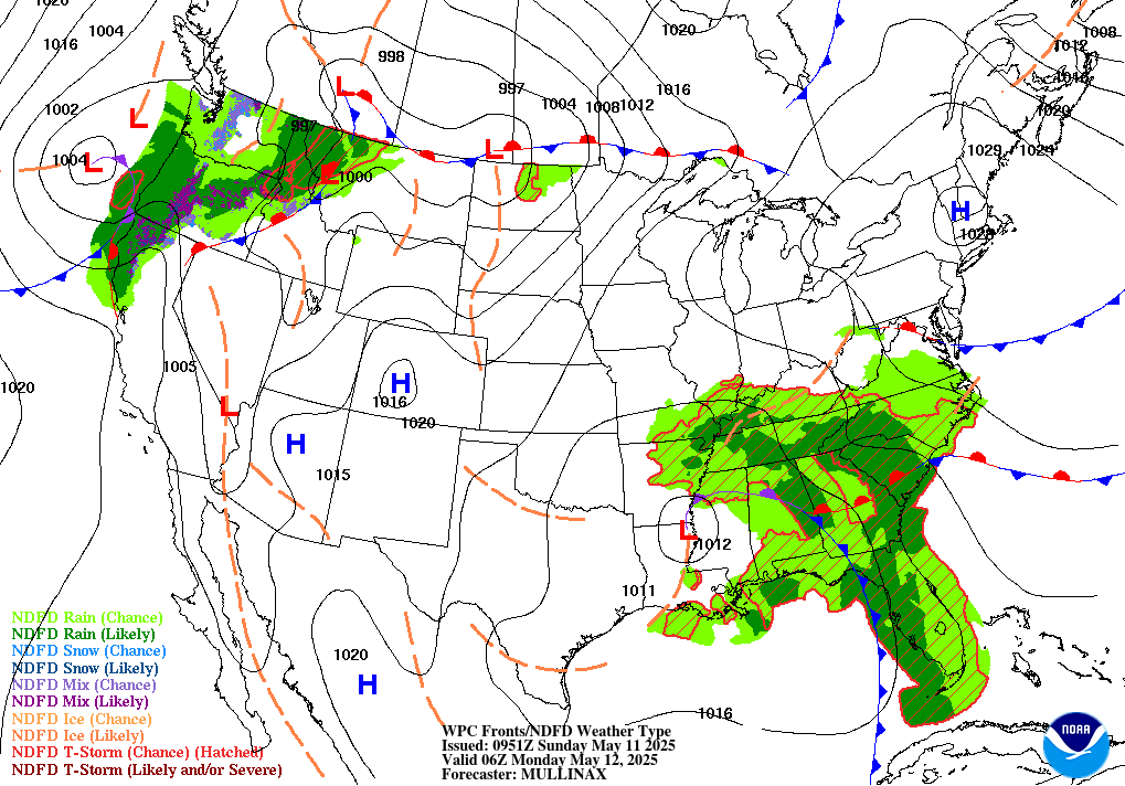
Day 3 to Day 7 Forecast Surface Weather Map:
