See below for current Northern Maine Weather Conditions, Weather Averages, Weather Advisories, Area Forecast Discussion, Weather Forecasts and Graphs, Climate Summaries, Model Outputs, and more.
Current Weather | Forecast | Webcams | Satellite | Radar
Current Weather Conditions:
| Frenchville: |
Caribou: |
Presque Isle: |
| Houlton: |
Millinocket: |
Caribou Weather Averages:
| MONTH | Avg. High | Avg. Low | Avg. Rainfall | Avg. Snowfall | Heating Deg. Days | Cooling Deg. Days |
| January | 19.5 | 0.8 | 2.71 | 24.9 | 1700 | 0 |
| February | 23.9 | 4.2 | 2.21 | 22.2 | 1427 | 0 |
| March | 33.9 | 15.2 | 2.51 | 18.3 | 1254 | 0 |
| April | 47.8 | 29.5 | 2.66 | 7.4 | 791 | 0 |
| May | 62.5 | 40.5 | 3.33 | 0.5 | 423 | 5 |
| June | 71.5 | 49.8 | 3.48 | 0.0 | 165 | 34 |
| July | 76.0 | 55.2 | 4.08 | 0.0 | 58 | 77 |
| August | 74.3 | 52.9 | 3.76 | 0.0 | 96 | 53 |
| September | 65.4 | 44.5 | 3.32 | 0.1 | 313 | 11 |
| October | 52.0 | 34.6 | 3.53 | 1.7 | 673 | 0 |
| November | 38.3 | 24.7 | 3.63 | 10.5 | 1005 | 0 |
| December | 26.2 | 10.3 | 3.27 | 23.4 | 1449 | 0 |
Current Weather | Forecast | Webcams | Satellite | Radar
Northern Maine Weather Advisories:
Read watches, warnings & advisories.
Area Forecast Discussion
Weather Forecast
Point Forecast Matrices
Hourly Weather Roundup
Terminal Aerodrome Forecast For Northern Maine
| Frenchville:
|
Caribou:
|
| Presque Isle:
|
Houlton:
|
Current Weather | Forecast | Webcams | Satellite | Radar
48-Hour Northern Maine Weather Forecast Graphs:
Estcourt Station:
Allagash:
Fort Kent:
Madawaska:
Van Buren:
Limestone:
Loring:
Caribou:
Fort Fairfield:
Presque Isle:
Mapleton:
Ashland:
Portage:
Easton:
Mars Hill:
Monticello:
Houlton:
Millinocket:
Danforth:
Vanceboro:
Greenville:
Jackman:
Current Weather | Forecast | Webcams | Satellite | Radar
Northern Maine & Western New Brunswick Webcams:
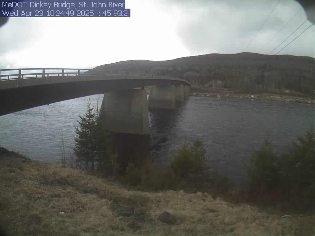
St. John River at Dickey Webcam:
Edmundston, NB:
Fort Kent Webcam:
Madawaska Webcam:
Saint Quentin, NB:
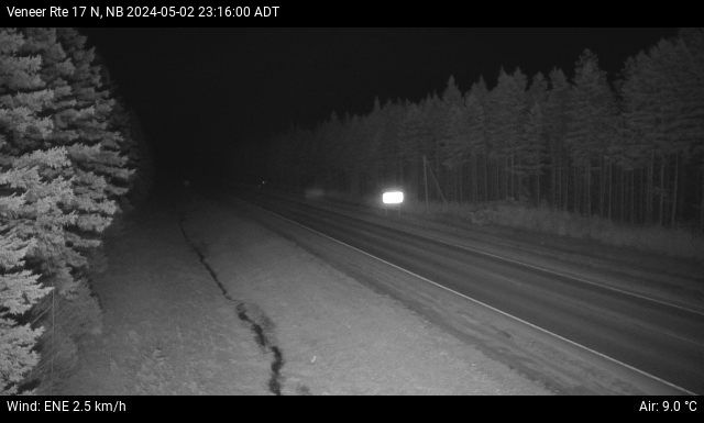
Saint Leonard/Veneer, NB:
Caribou Webcam:
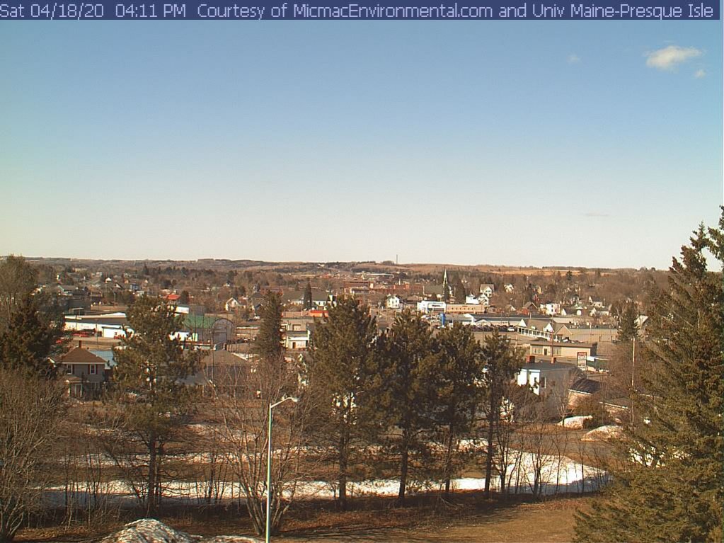
Presque Isle Webcam:
Houlton Webcam (I95 SB at Mile 300):
Woodstock, NB Webcam:
Meductic, NB Webcam:
Fredericton, NB Webcams:
Sherman Webcam (I95 NB at Mile 265):
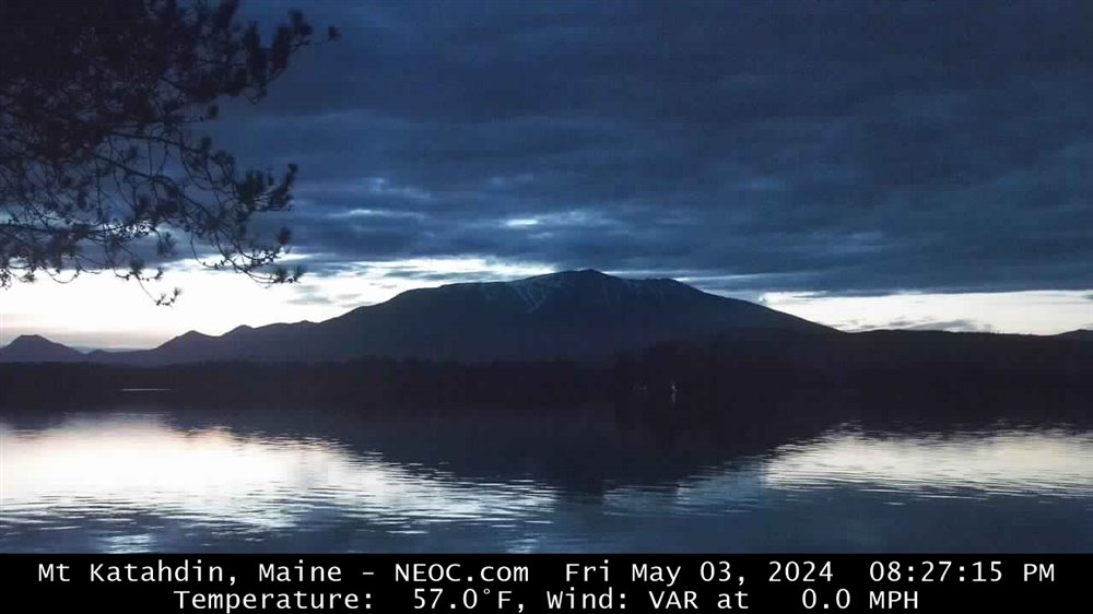
Millinocket Webcam:
Medway Webcam (I95 SB at Mile 241):
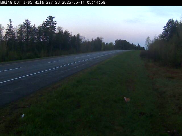
Lincoln Webcam (I95 NB at Mile 229):
Jackman Webcams:
Current Weather | Forecast | Webcams | Satellite | Radar
Current Northeast US Surface Weather Map:
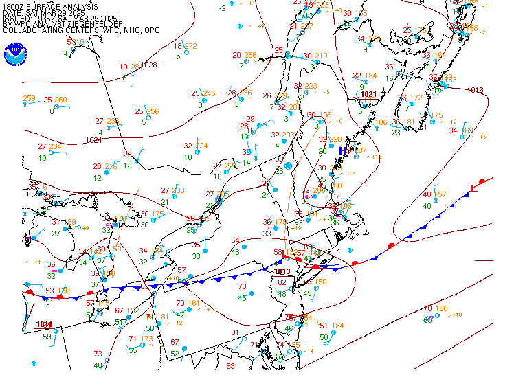
Current US Surface Weather Map:
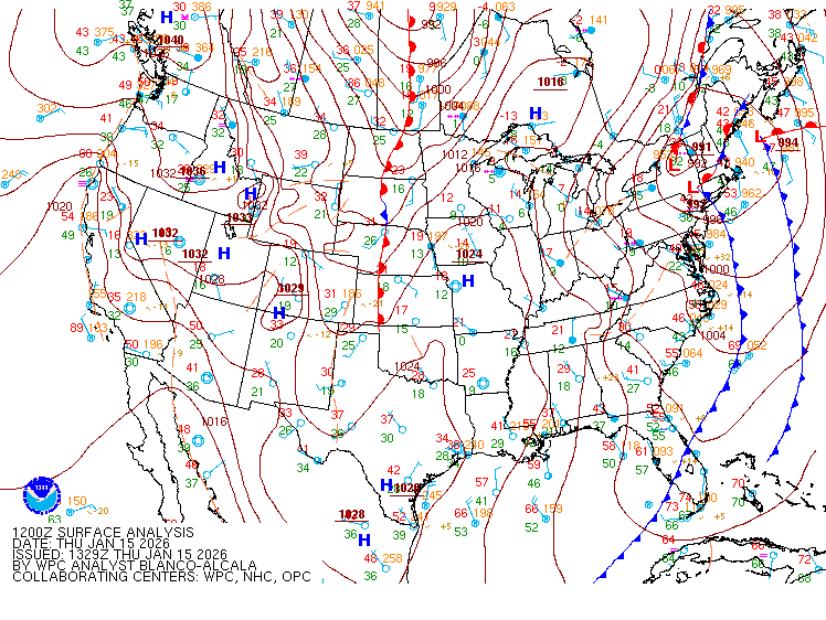
Current Northeast US Surface Weather Plot:

Current Northeast US Surface Weather Analysis:

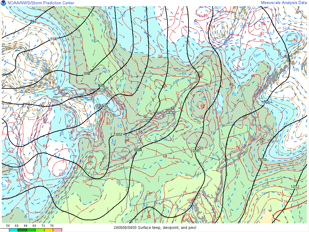
Current Northeast US Mesoscale Analysis:
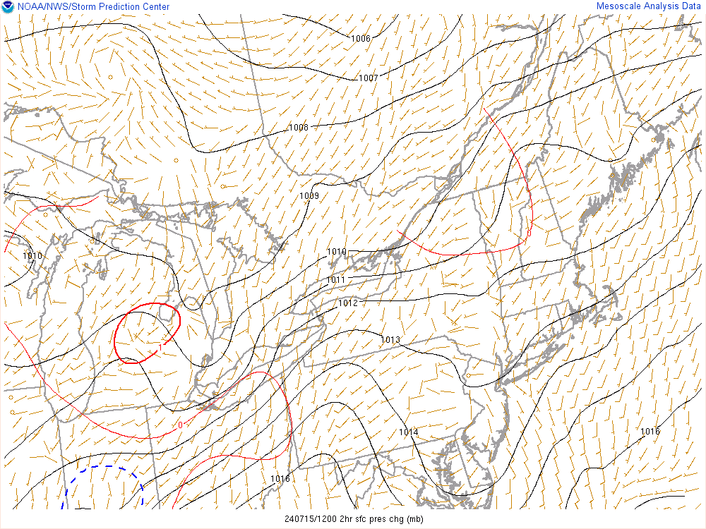
Northeast US 2 Hour Sea Level Pressure Change Chart:
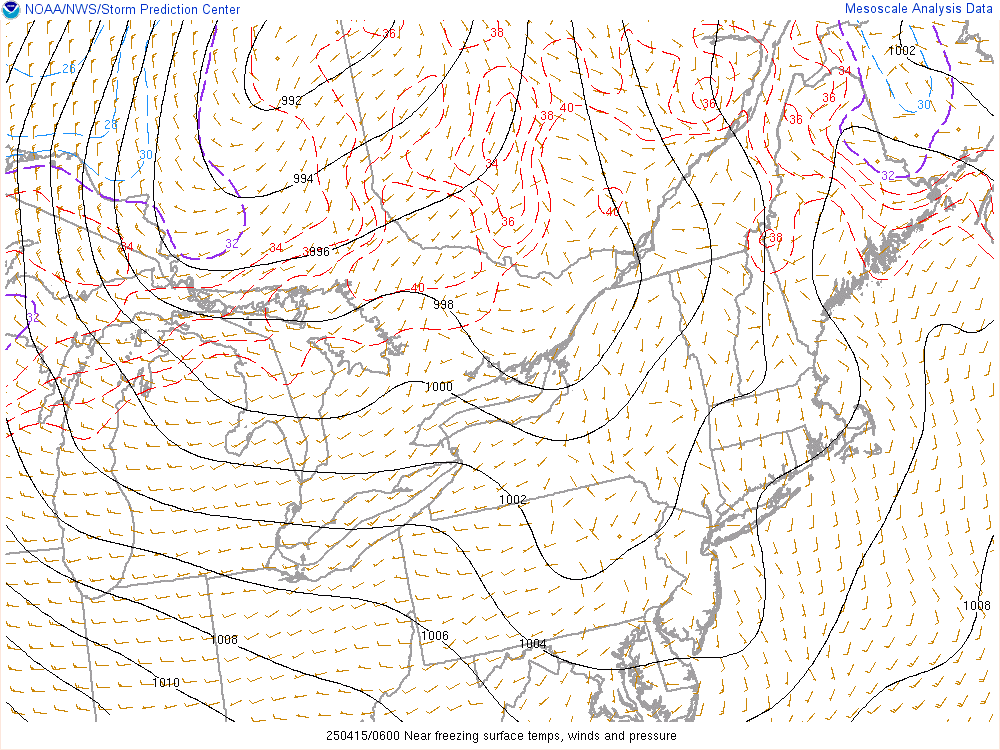
Northeast US Near Freezing Surface Temperatures:
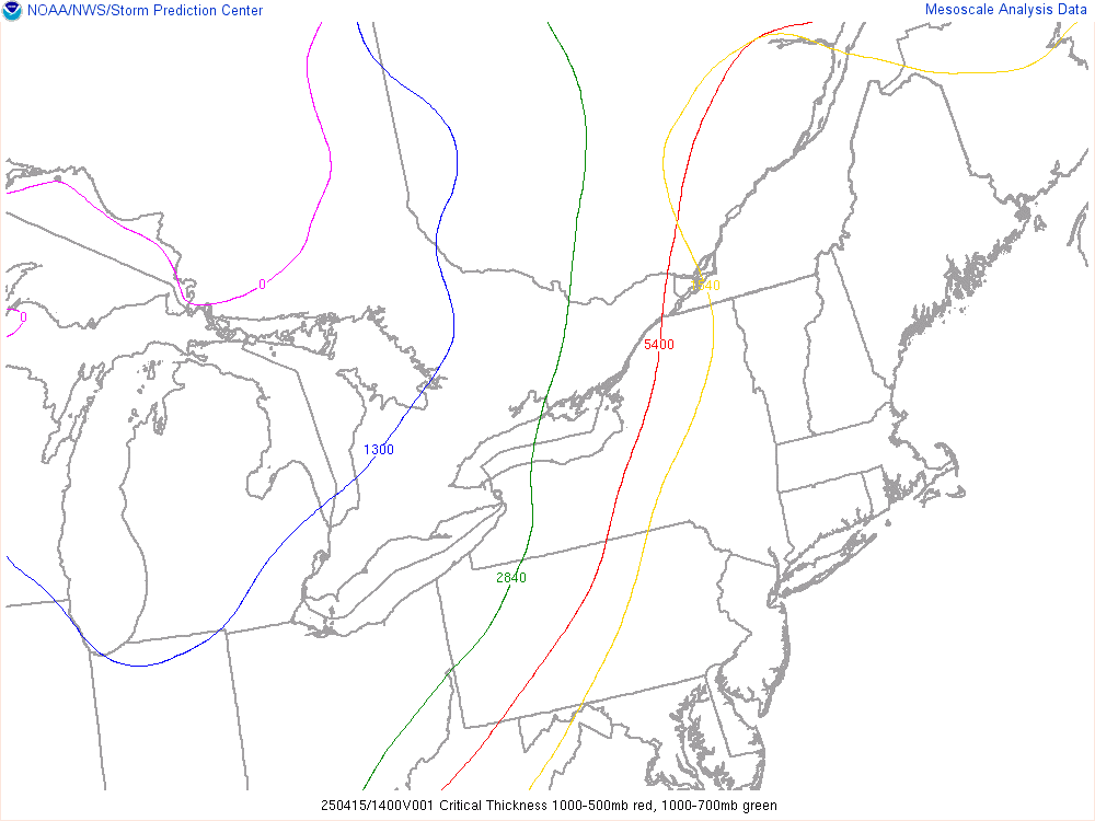
Northeast US Critical Thickness Analysis:
Current Weather | Forecast | Webcams | Satellite | Radar
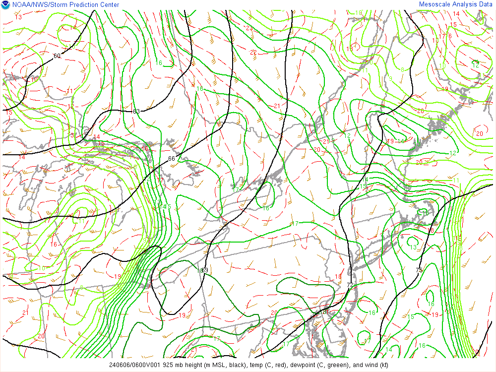
Current 925 Millibar Upper Air Chart:
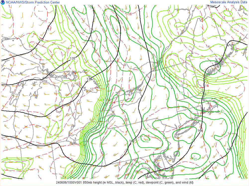
Current 850 Millibar Upper Air Chart:
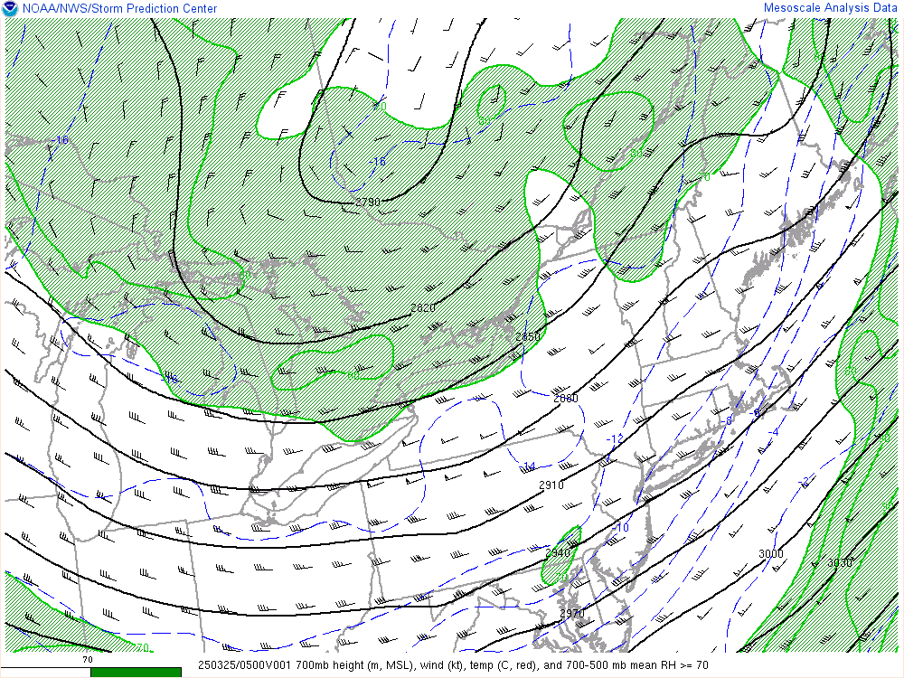
Current 700 Millibar Upper Air Chart:
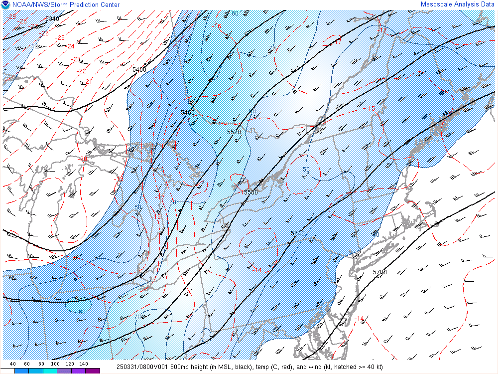
Current 500 Millibar Upper Air Chart:
Current 300 Millibar Upper Air Chart:
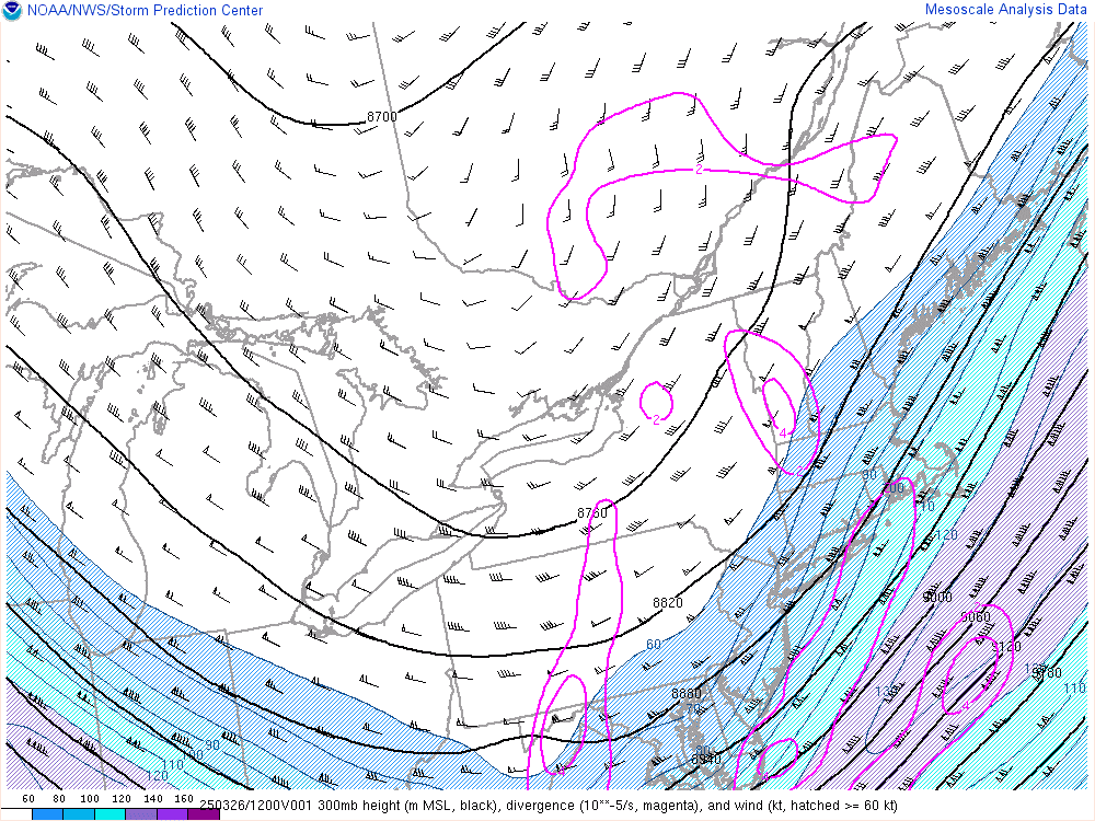
500 mb Upper Air Chart Overlayed On Water Vapor Satellite Image:
Current US Surface Theta-E Chart:
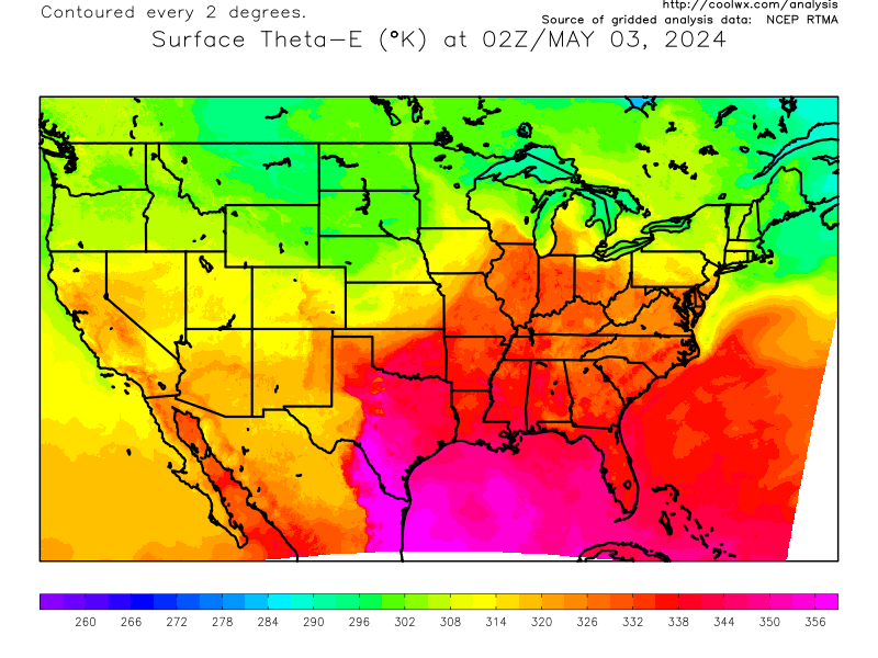
Current Northeast US Surface Theta-E Chart:
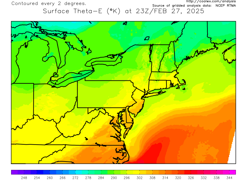
Current Northeast US CAPE Analysis:

Current Northeast US Storm Relative Helicity/Storm Motion Analysis:
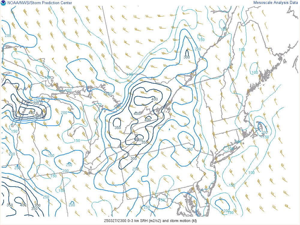
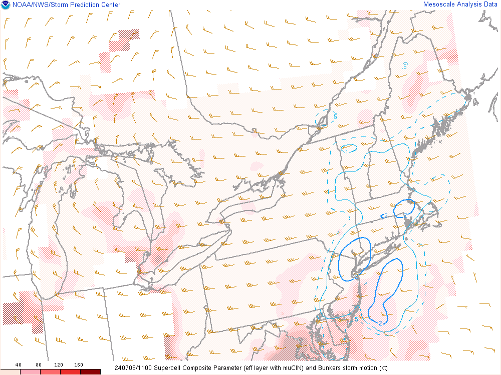
Current Northeast US Supercell Composite Analysis:
Current Northeast US Significant Tornado Parameter Analysis:
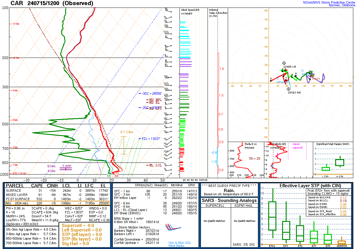
Current Upper Air Sounding:
Current Weather | Forecast | Webcams | Satellite | Radar
Current Northeast US Infrared Satellite Image:

Current Northeast US Visible Satellite Image:

Closeup Northern New England Visible Satellite Image:

Current Northeast US Water Vapor Satellite Image:

Northeast US Nighttime Fog & Low Cloud Imagery
Current US Infrared Satellite Image:

Current US Visible Satellite Image:

Current US Water Vapor Satellite Image:

Current Weather | Forecast | Webcams | Satellite | Radar
Current Northern Maine Radar Image:

Current Regional Radar Composite:
Today’s Severe Weather Outlook:

Categorical Outlook:
Tornado Probability Outlook:

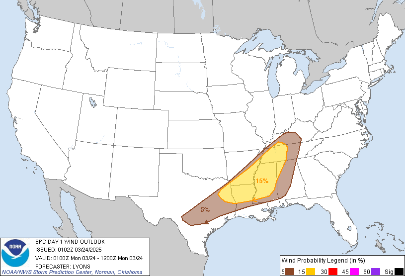
Severe Wind Probability Outlook:
Large Hail Probability Outlook:
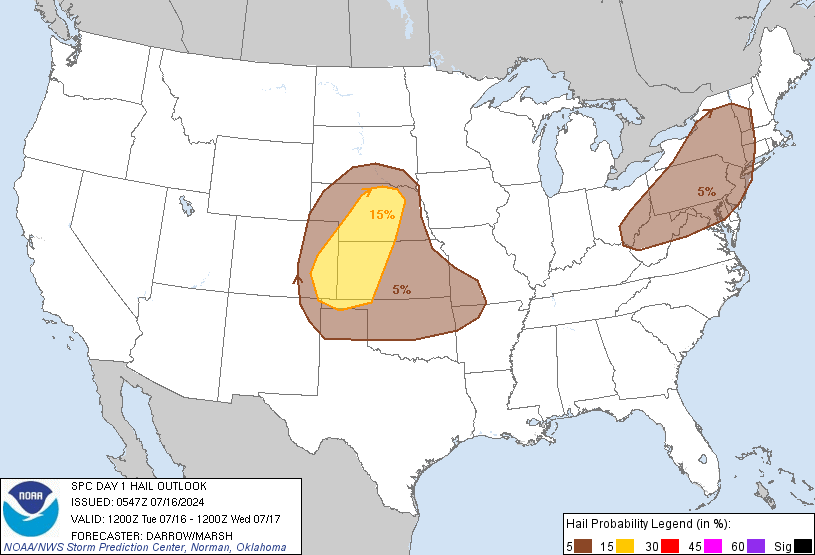
Tomorrow’s Severe Weather Outlook:

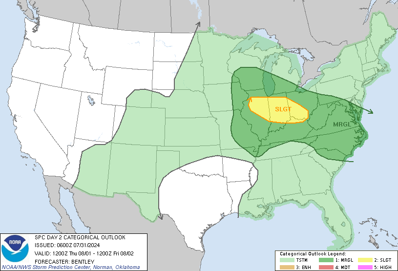
Categorical Outlook:
Tornado Probability Outlook:

Severe Wind Probability Outlook:

Large Hail Probability Outlook:

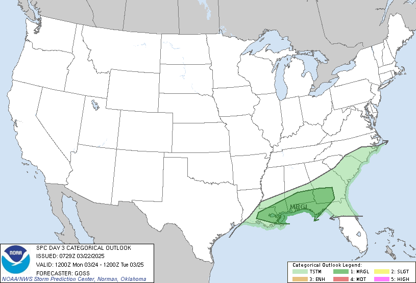
Day Three’s Severe Weather Outlook:

Categorical Outlook:
Probabilistic Outlook:
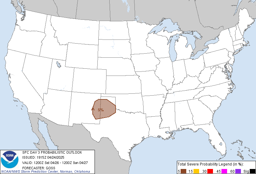
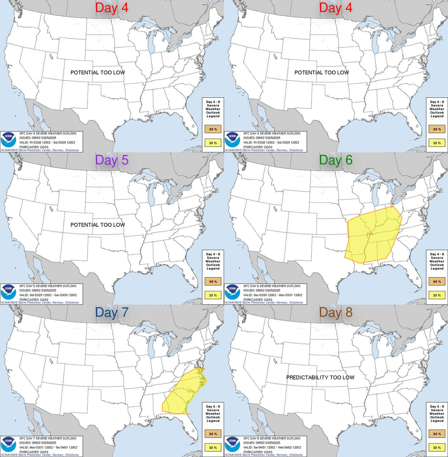
Day Four To Eight Severe Weather Outlook:
Other Severe Weather Products:
Current Severe Thunderstorm/Tornado Watches:
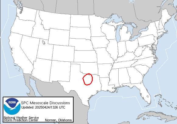
Current Mesoscale Discussions:
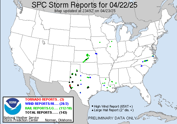
Storm Reports:
Today’s Storm Reports:
Yesterday’s Storm Reports:
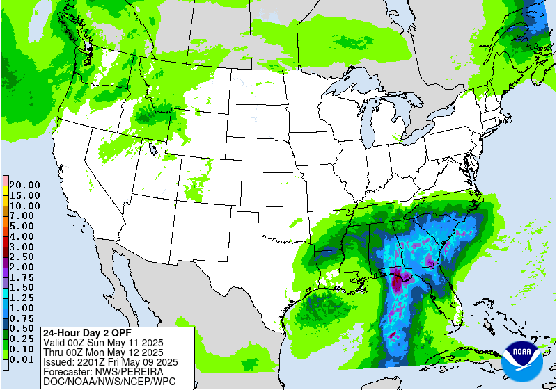
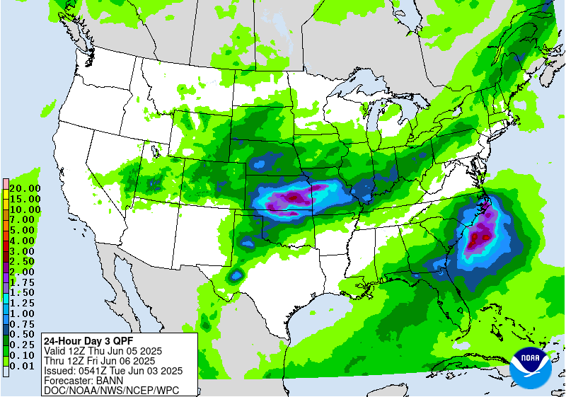
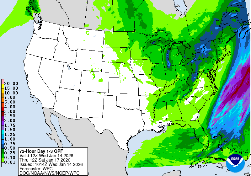
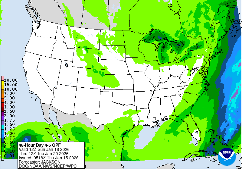
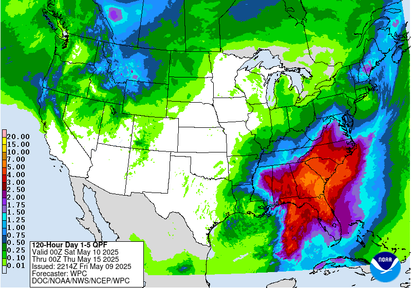
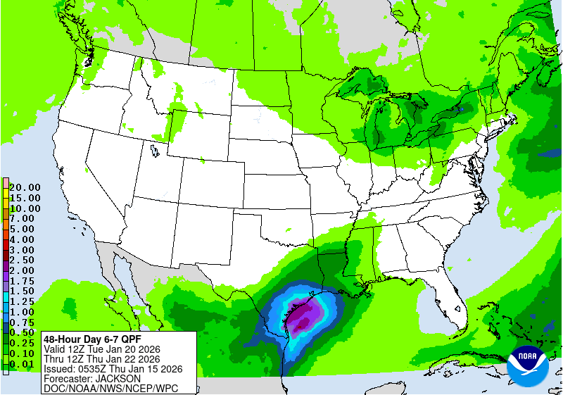
Latest Quantitative Precipitation Forecast:
Day 1 Precipitation Forecast:
Day 2 Precipitation Forecast:
Day 3 Precipitation Forecast:
3 Day Precipitation Totals:
Days 4 and 5 Precipitation Forecast:
5 Day Precipitation Totals:
Days 6 and 7 Precipitation Forecast:
7 Day Precipitation Totals:
Heavy Snowfall Discussion:
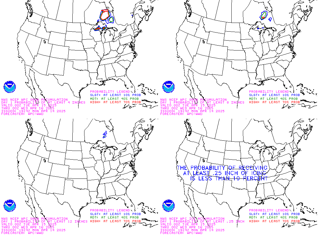
Day 1 Winter Weather Composite Forecast:
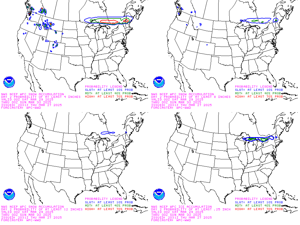
Day 2 Winter Weather Composite Forecast:
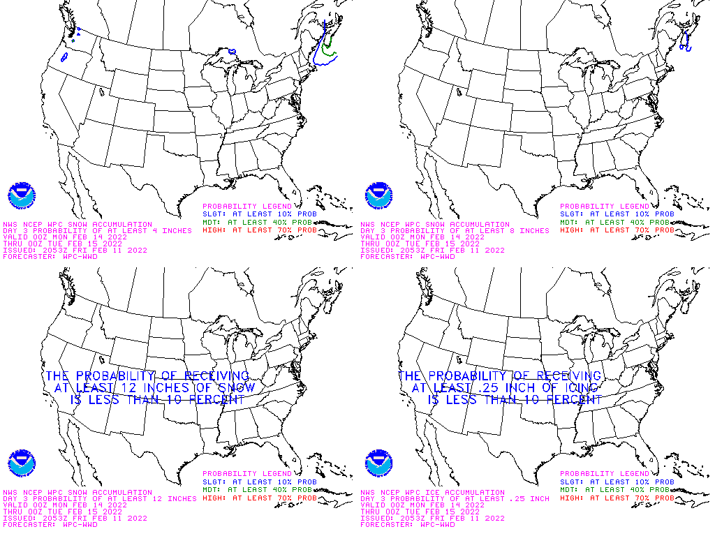
Day 3 Winter Weather Composite Forecast:
Computer Model Forecast Of Storm Tracks:
Short Range Forecast Discussion:
6 Hour Forecasted Surface Weather Map:
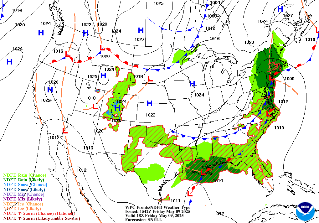
12 Hour Forecasted Surface Weather Map:
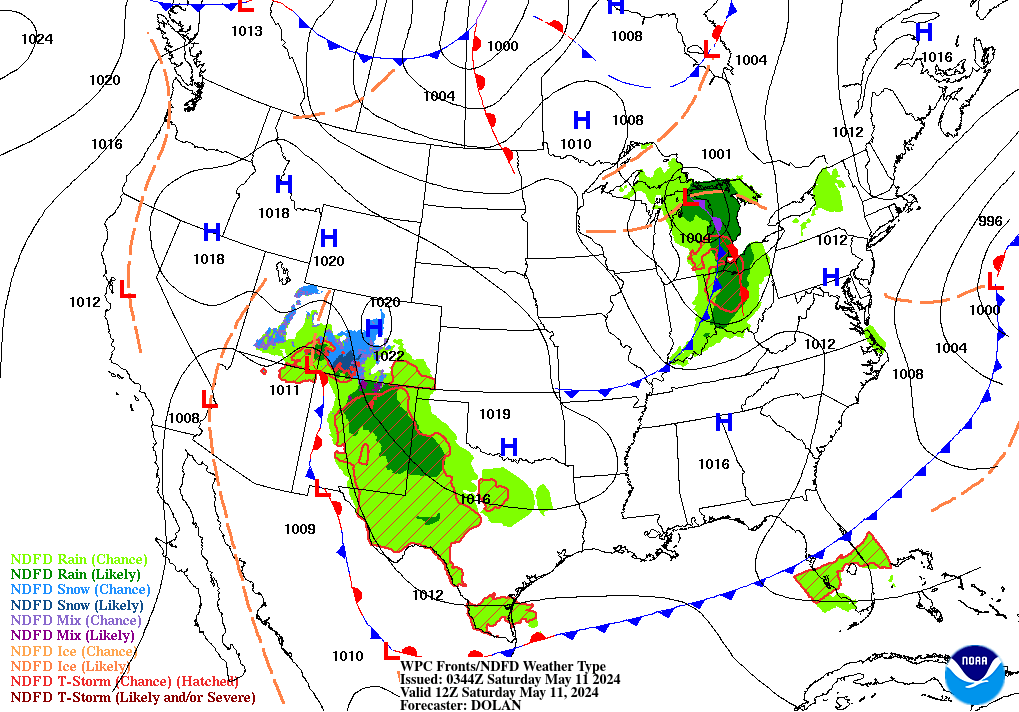
18 Hour Forecasted Surface Weather Map:
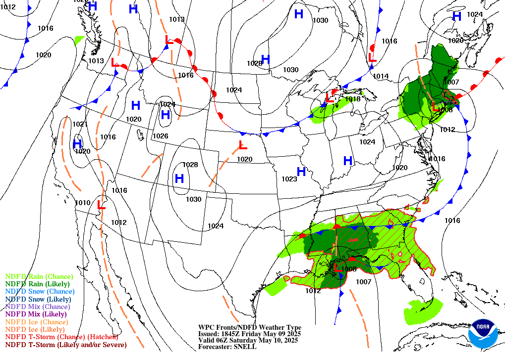
24 Hour Forecasted Surface Weather Map:
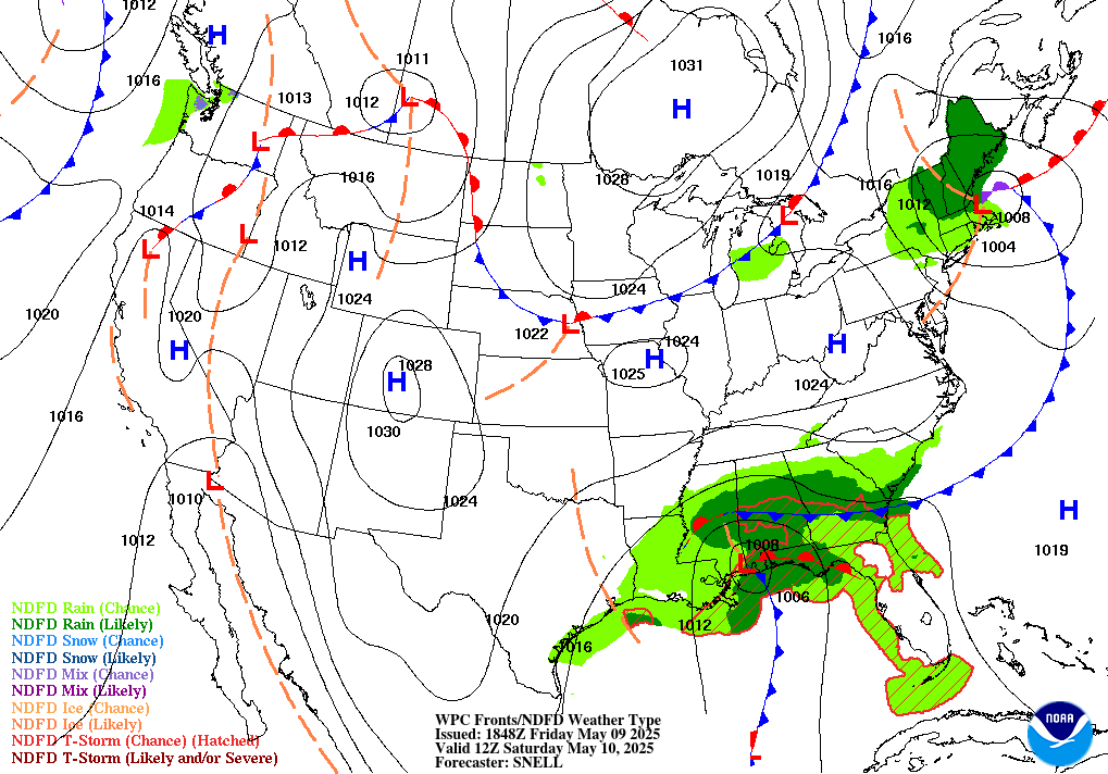
30 Hour Forecasted Surface Weather Map:
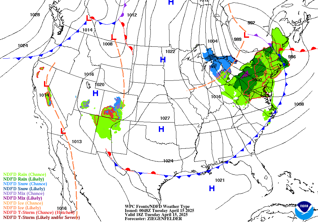
36 Hour Forecasted Surface Weather Map:
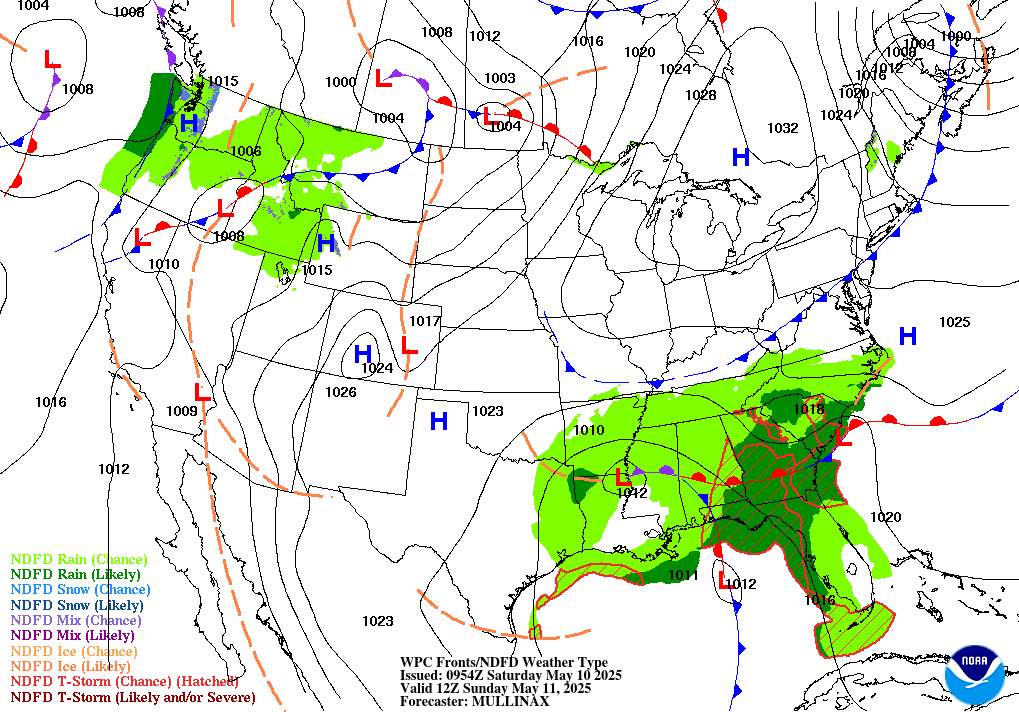
48 Hour Forecasted Surface Weather Map:
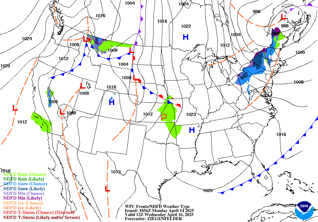
60 Hour Forecasted Surface Weather Map:
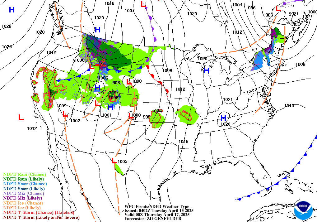
Extended Forecast Discussion:
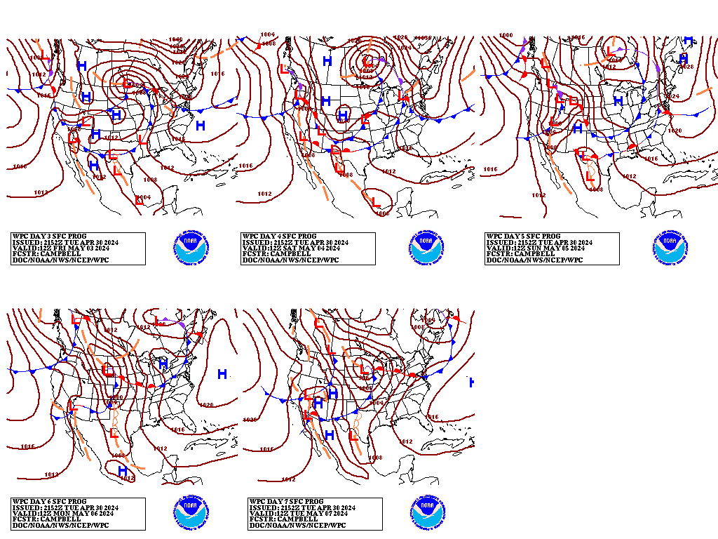
Day 3 to Day 7 Forecast Surface Weather Map:
