
Make this page your one-stop source for tropical storm and typhoon information for the Western Pacific. Look below for a wealth of tropical weather information for the Western Pacific. All images, forecasts, and documents are courtesy of their respective publishers.
Current Outlook Image From The Joint Typhoon Warning Center:

Current Graphical Satellite Analysis From Typhoon2000.com:

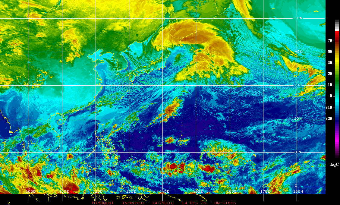
Western Pacific Infrared Satellite Image:
Western Pacific Wide Infrared Satellite Image:

Other Infrared Satellite Images:
West-Central Pacific: 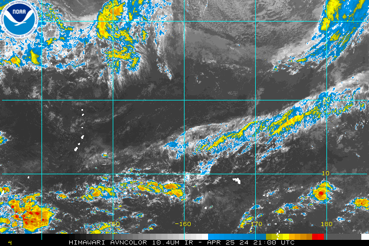 |
West Pacific:  |
Northwest Pacific:  |
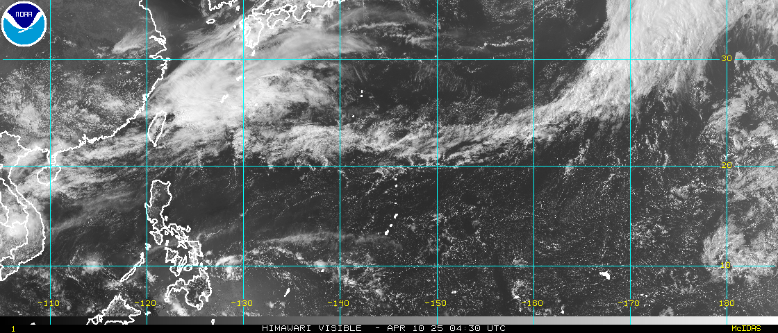
Western Pacific Wide Visible Satellite Image:
Other Visible Satellite Images:
West-Central Pacific: 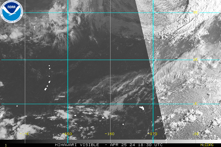 |
West Pacific: 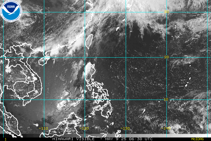 |
Northwest Pacific:  |
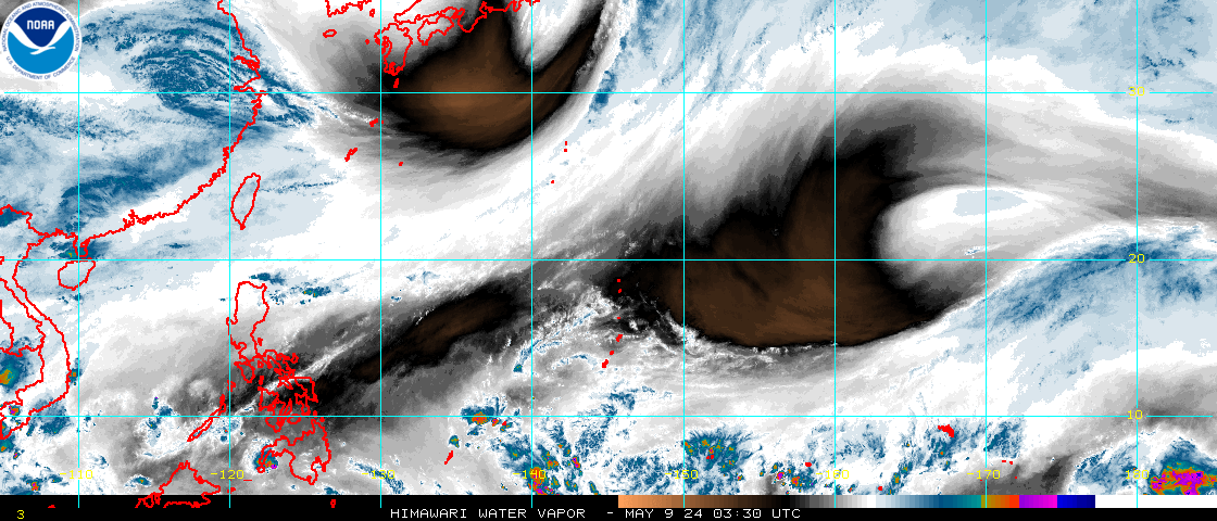
Western Pacific Water Vapor Satellite Image:
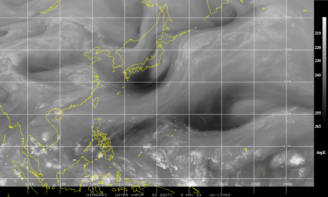
Western Pacific Wide Water Vapor Satellite Image:
Other Water Vapor Satellite Images:
West-Central Pacific: 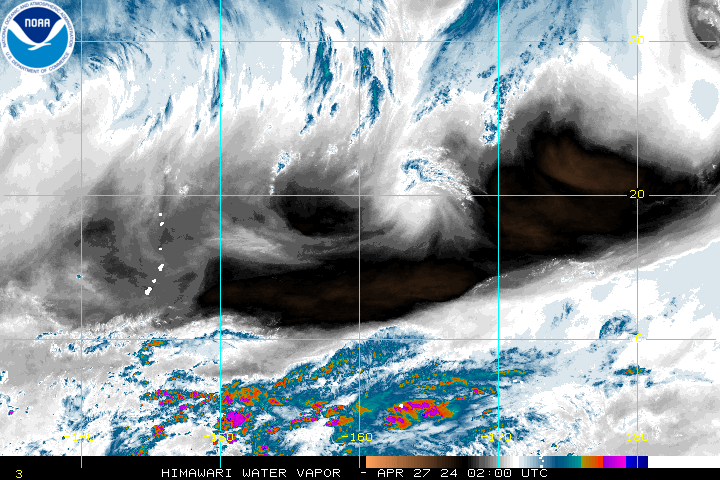 |
West Pacific: 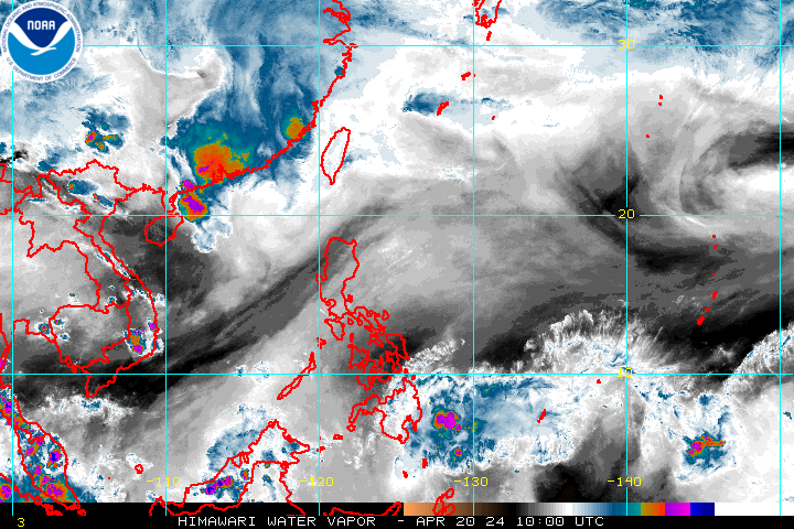 |
Northwest Pacific:  |
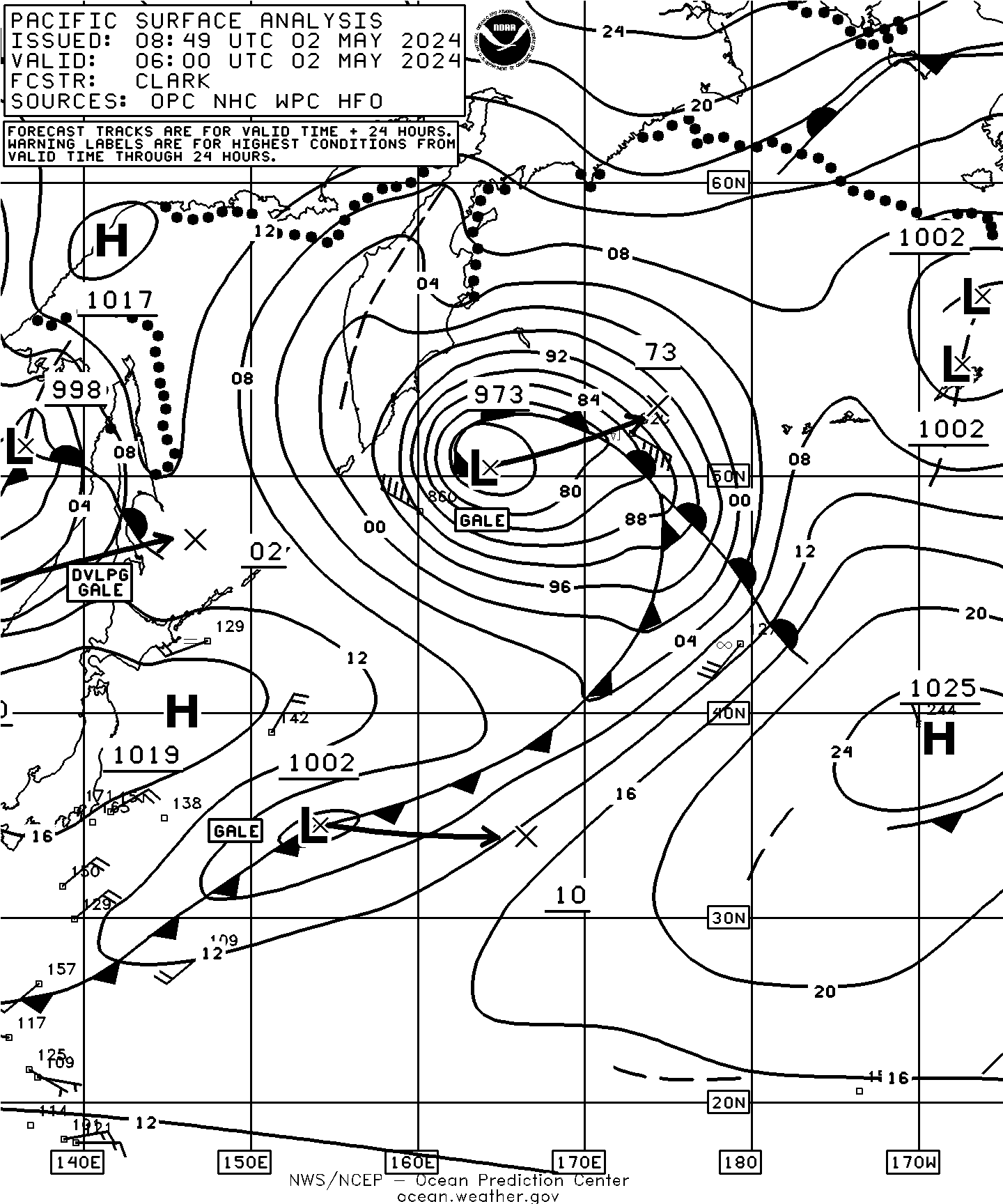
Current West Pacific Surface Weather Analysis:
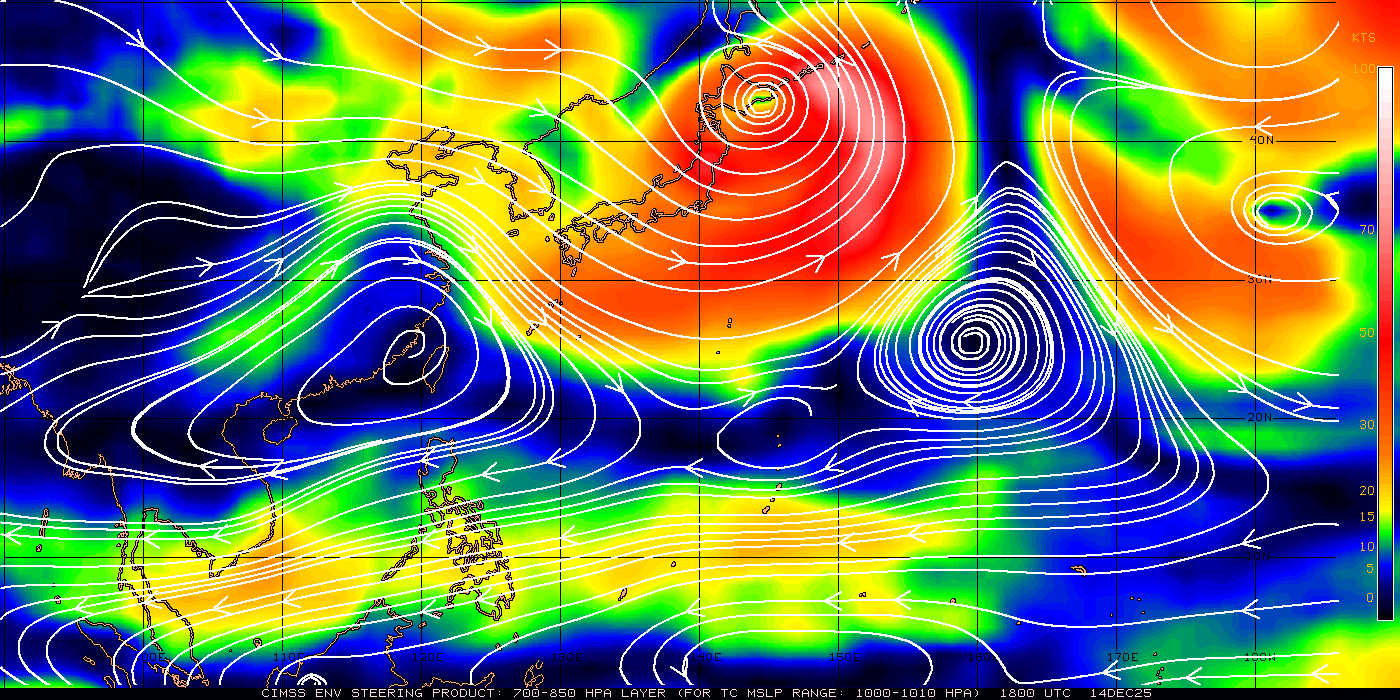
Current Western Pacific 700-850 mb Mean Wind Analysis (TC Sfc Pressure Range 1000-1010 mbs):
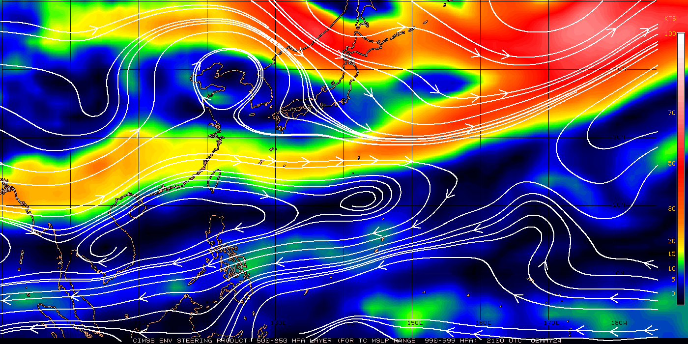
Current Western Pacific 500-850 mb Mean Wind Analysis (TC Sfc Pressure Range 990-999 mbs):
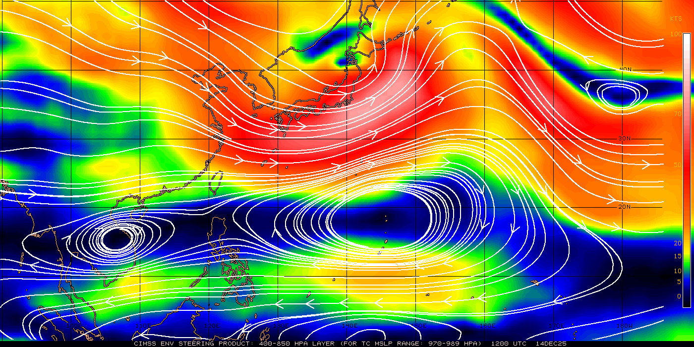
Current Western Pacific 400-850 mb Mean Wind Analysis (TC Sfc Pressure Range 970-989 mbs):
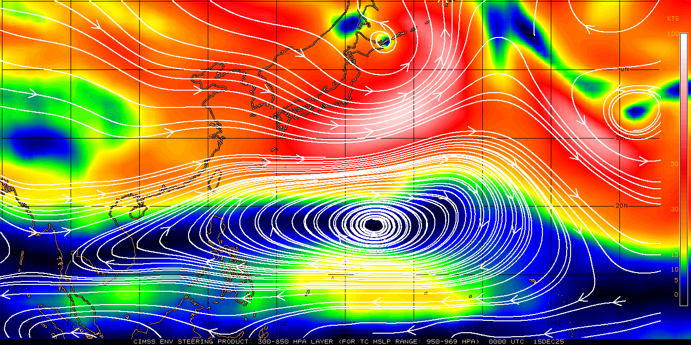
Current Western Pacific 300-850 mb Mean Wind Analysis (TC Sfc Pressure Range 950-969 mbs):
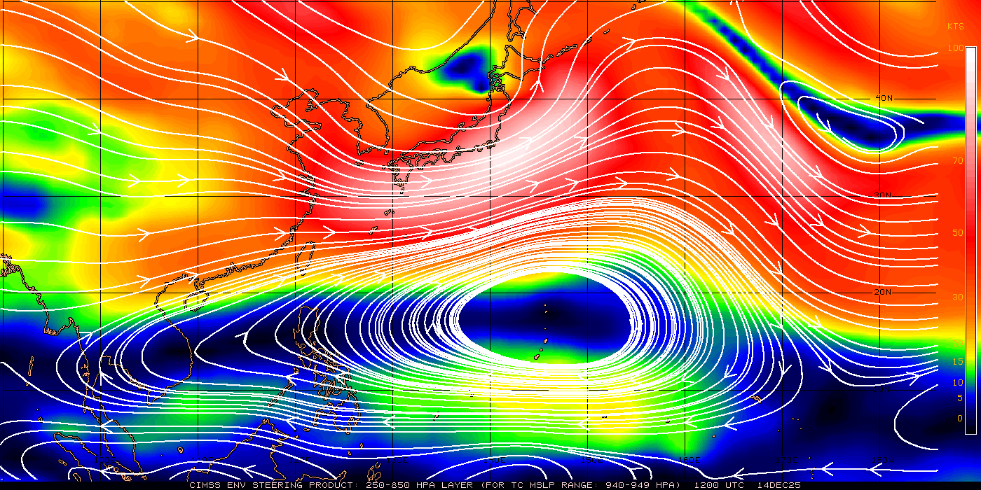
Current Western Pacific 250-850 mb Mean Wind Analysis (TC Sfc Pressure Range 940-949 mbs):
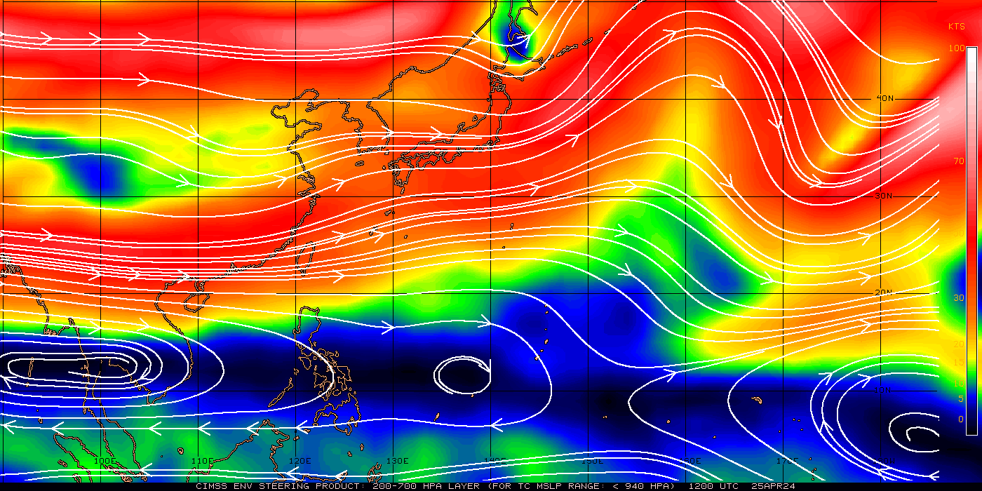
Current Western Pacific 200-700 mb Mean Wind Analysis (TC Sfc Pressure Range <940 mbs):
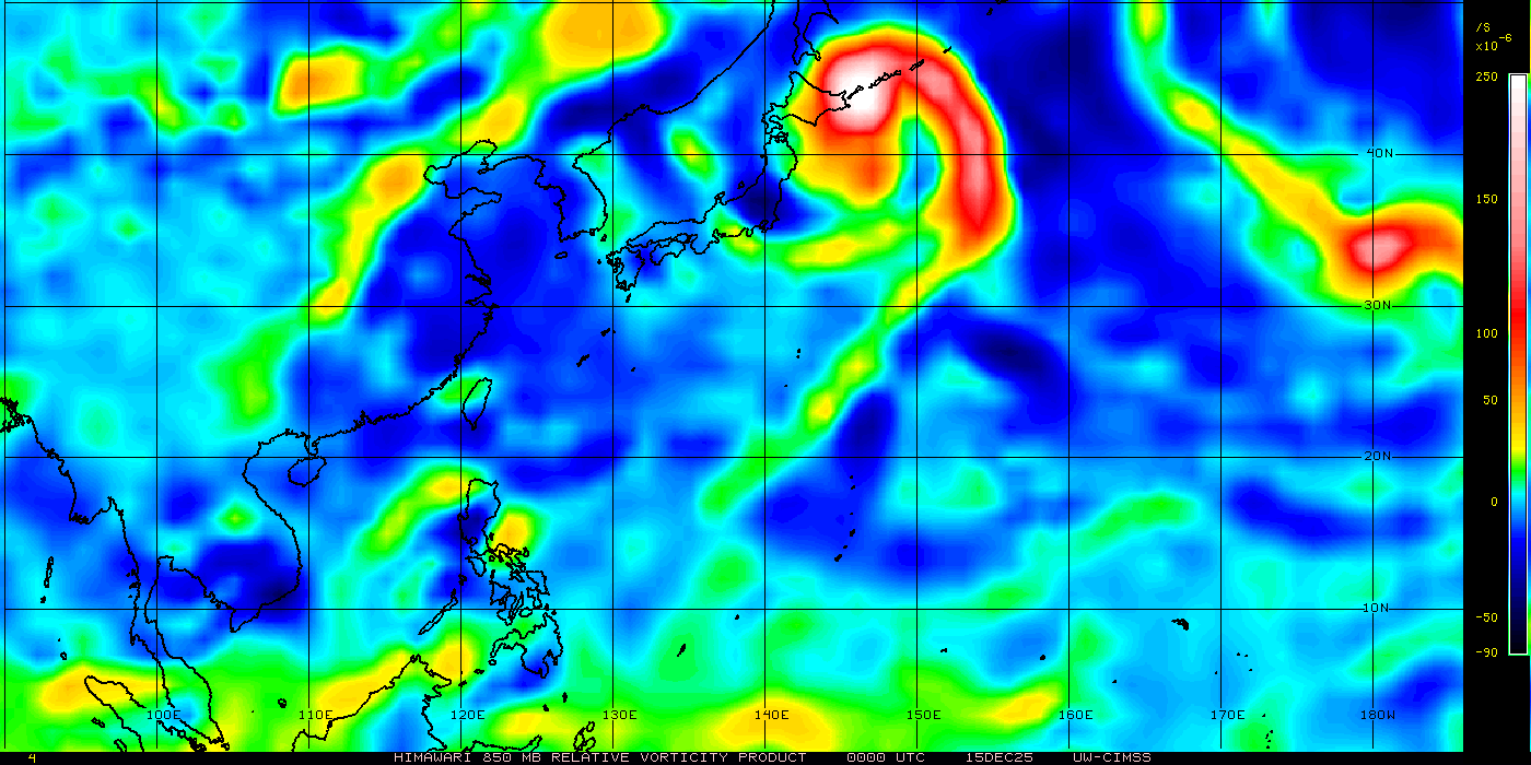
Current Western Pacific 850 mb Relative Vorticity Analysis:
Current Western Pacific Wind Shear Analysis:

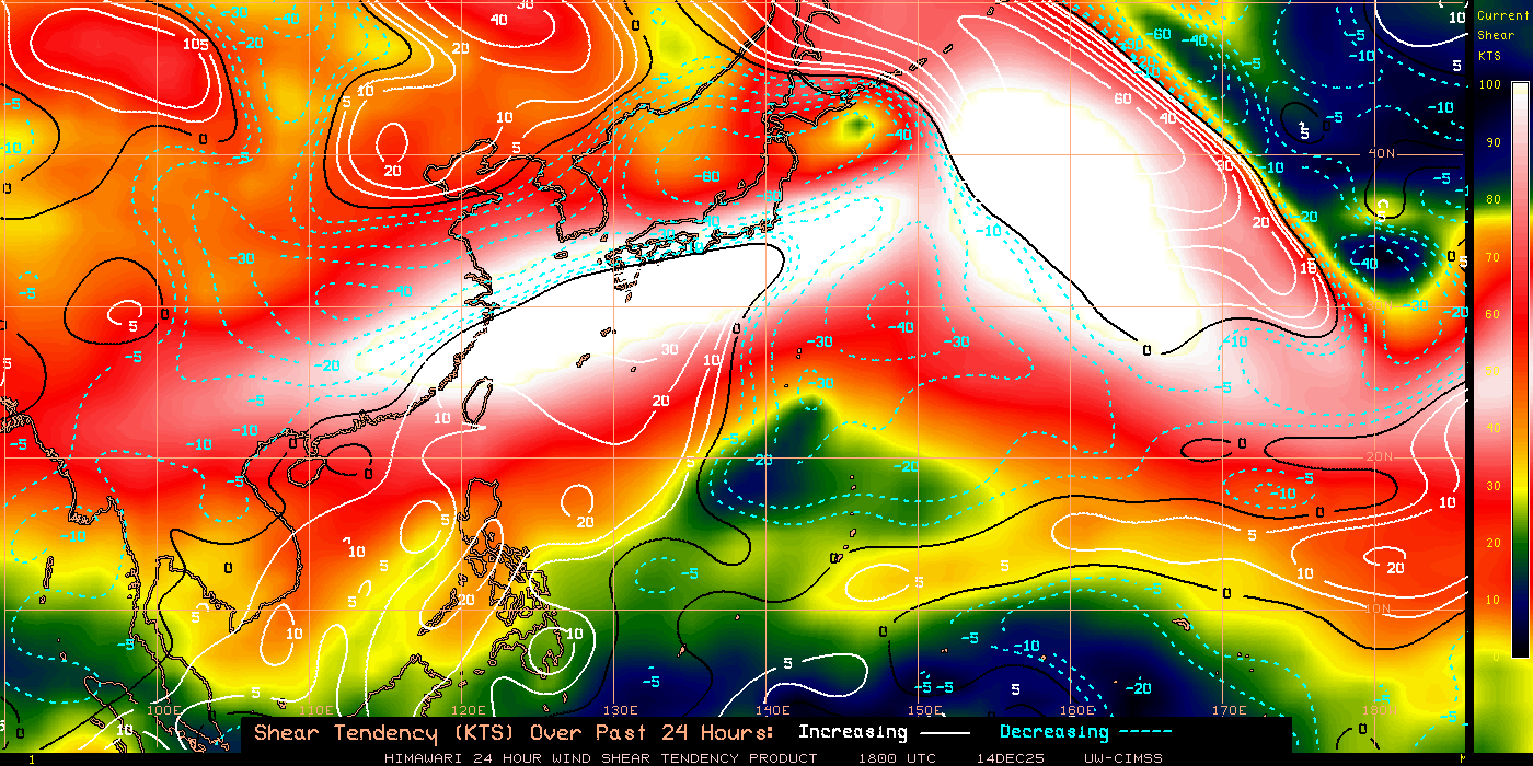
Current Western Pacific Wind Shear Tendency Analysis:
West Pacific Tropical Cyclone Heat Potential Analysis:
